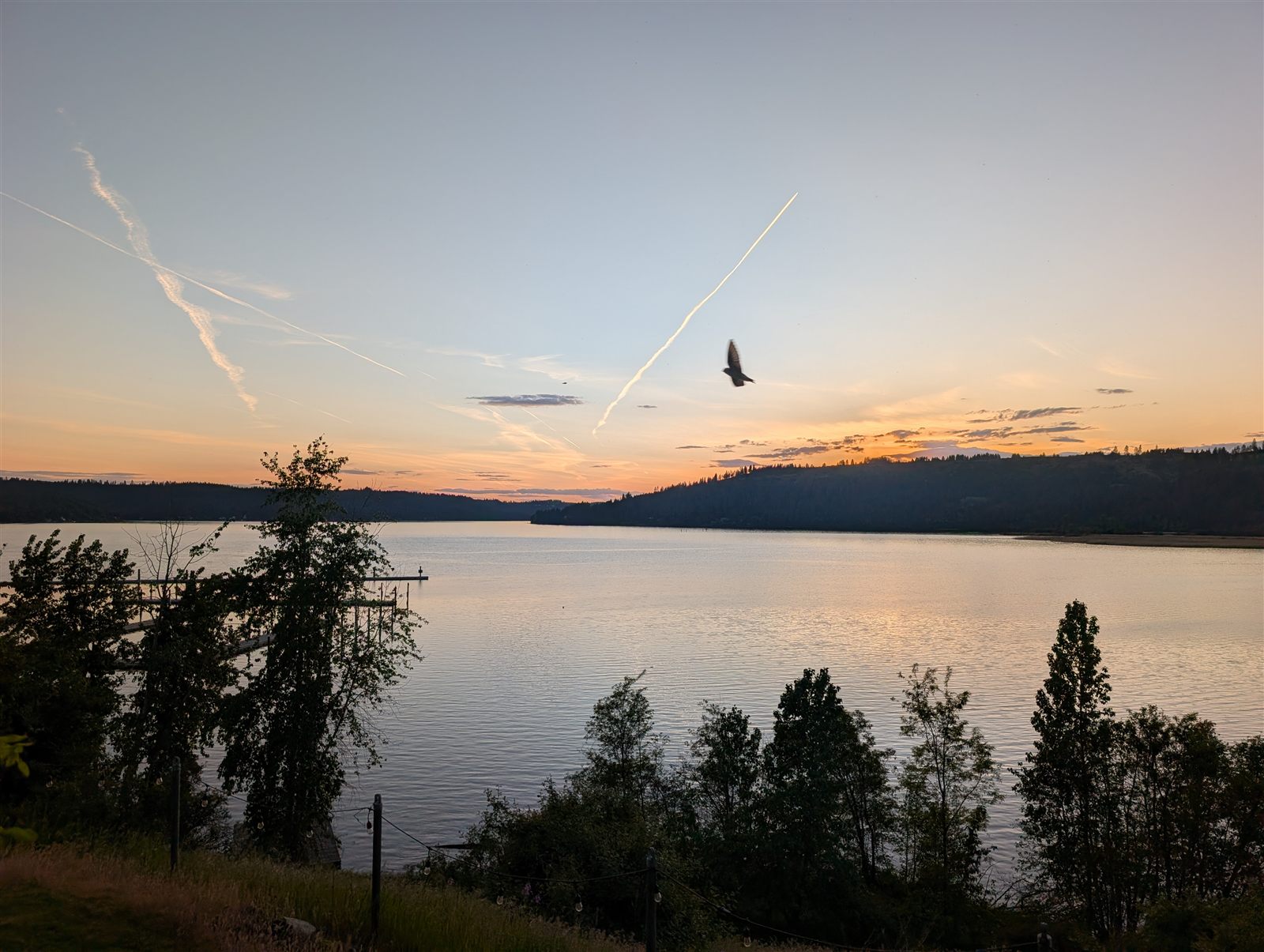
🚴 Bicycle Tour · May 2026
Three States by Bike
Spokane to Missoula — through Washington, Idaho, and Montana, with the 72-mile Trail of the Coeur d'Alenes as its spine.
Spokane to Missoula — through Washington, Idaho, and Montana, with the 72-mile Trail of the Coeur d'Alenes as its spine.
This ride started in Spokane, Washington, and pointed east — across the state line into Idaho, the length of the 72-mile Trail of the Coeur d'Alenes, and onward into Montana, finishing in Missoula. Three states on a mix of quiet back roads, gravel stretches, and rail trails — and a whole lot of country with almost no one else on it.
This ride also doubled as a shakedown — a chance to log real miles on a new touring bike and work out the kinks ahead of a much bigger goal: a cross-country tour. I'd hoped to make that cross-country trip this year, but some family considerations meant staying closer to home was the wiser call. So this year is about smaller adventures like this one — and there are a few more on the calendar.
What follows is a day-by-day account, told through the route, the stops, and the photos along the way.
Interactive map and elevation profile via Ride with GPS.
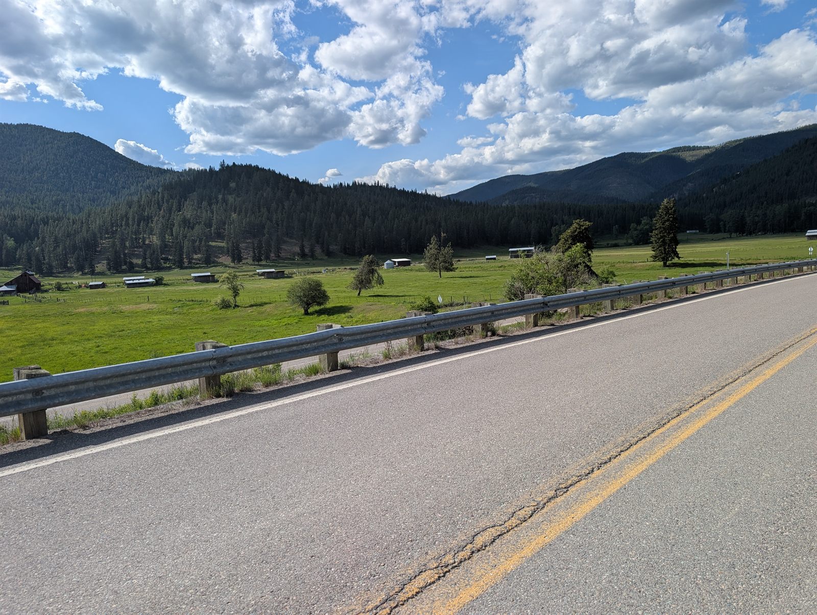
61 miles · ~3,280 ft climbing · Washington → Idaho
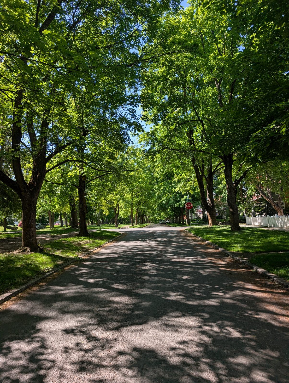
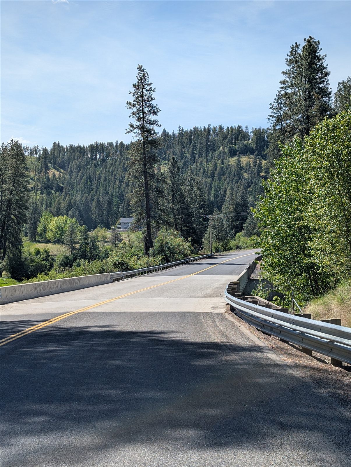
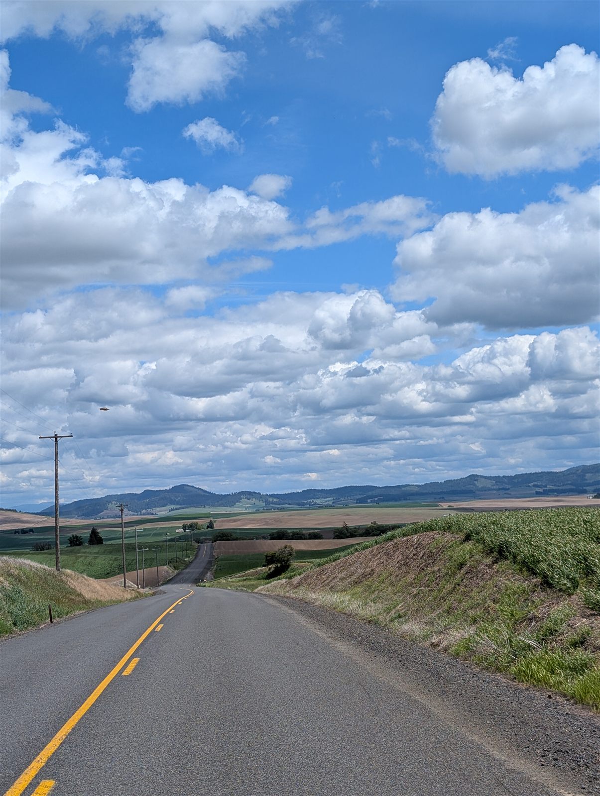
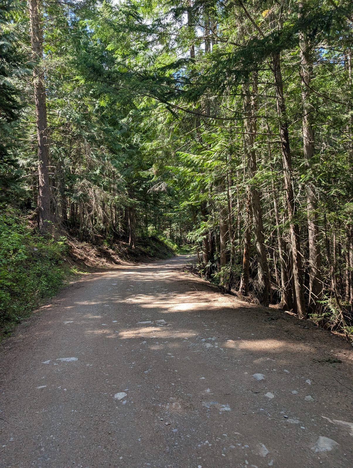
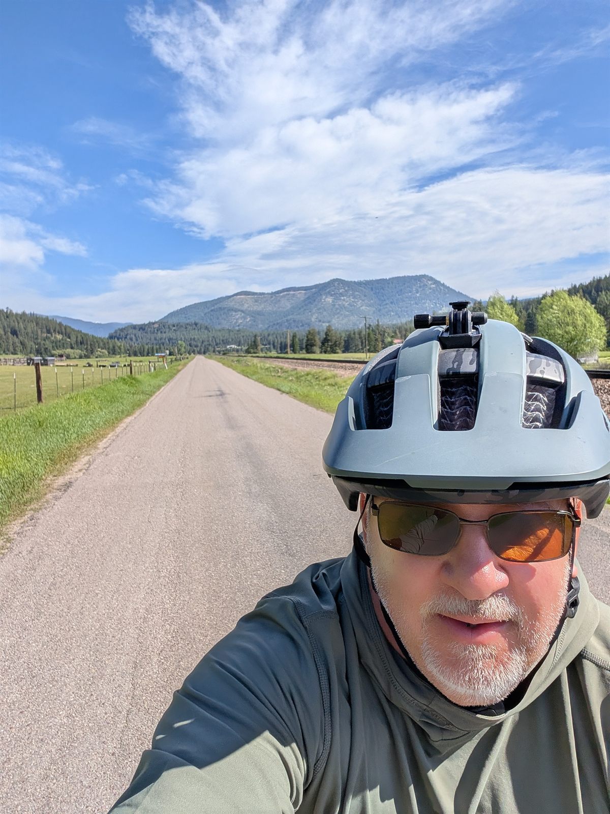
Leaving Spokane started with a jolt — an immediate short, steep hill on a busy road. But the route quickly mellowed, threading me through a historic, tree-lined neighborhood that felt worlds away from the traffic I'd just left behind.
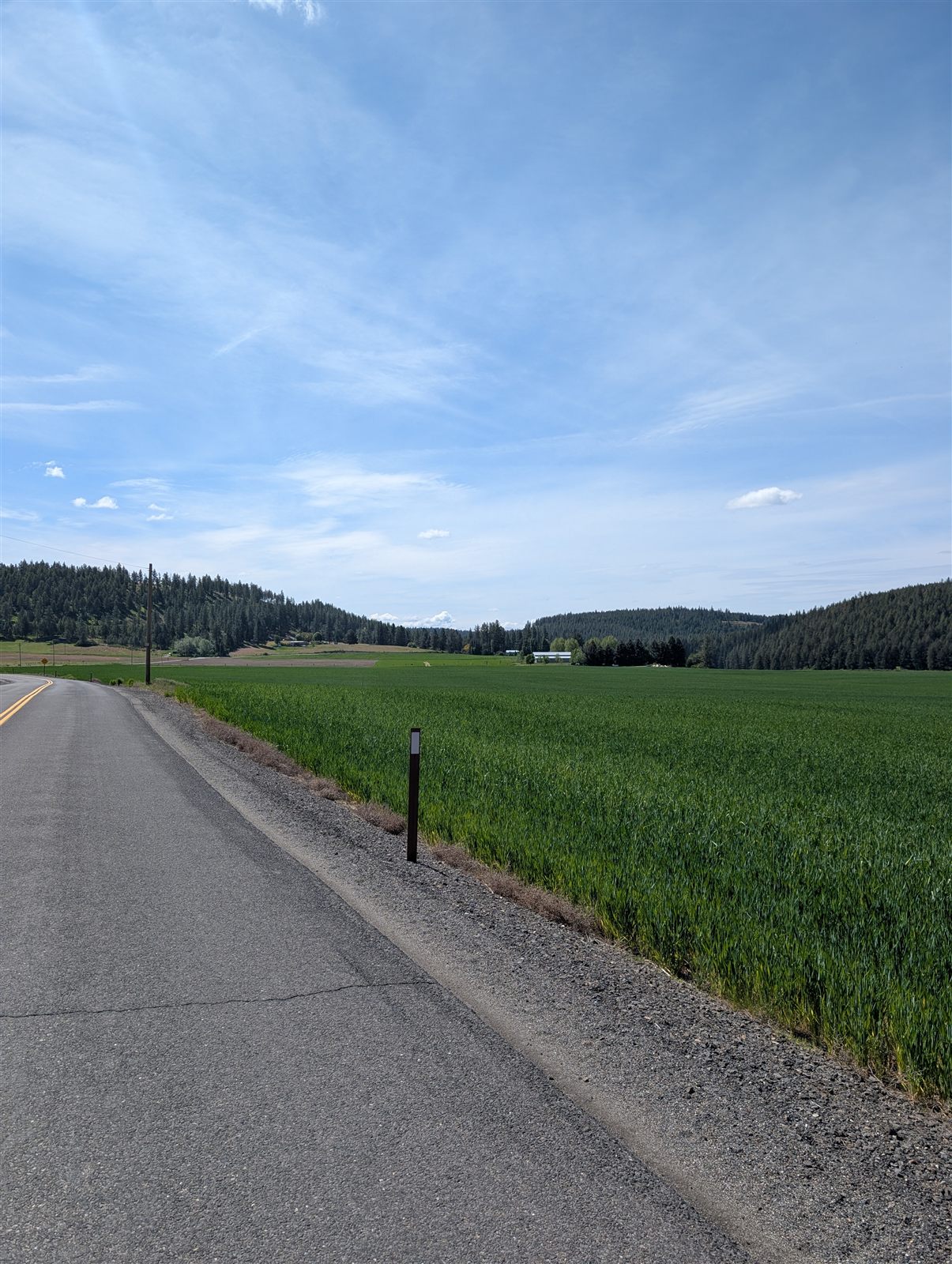
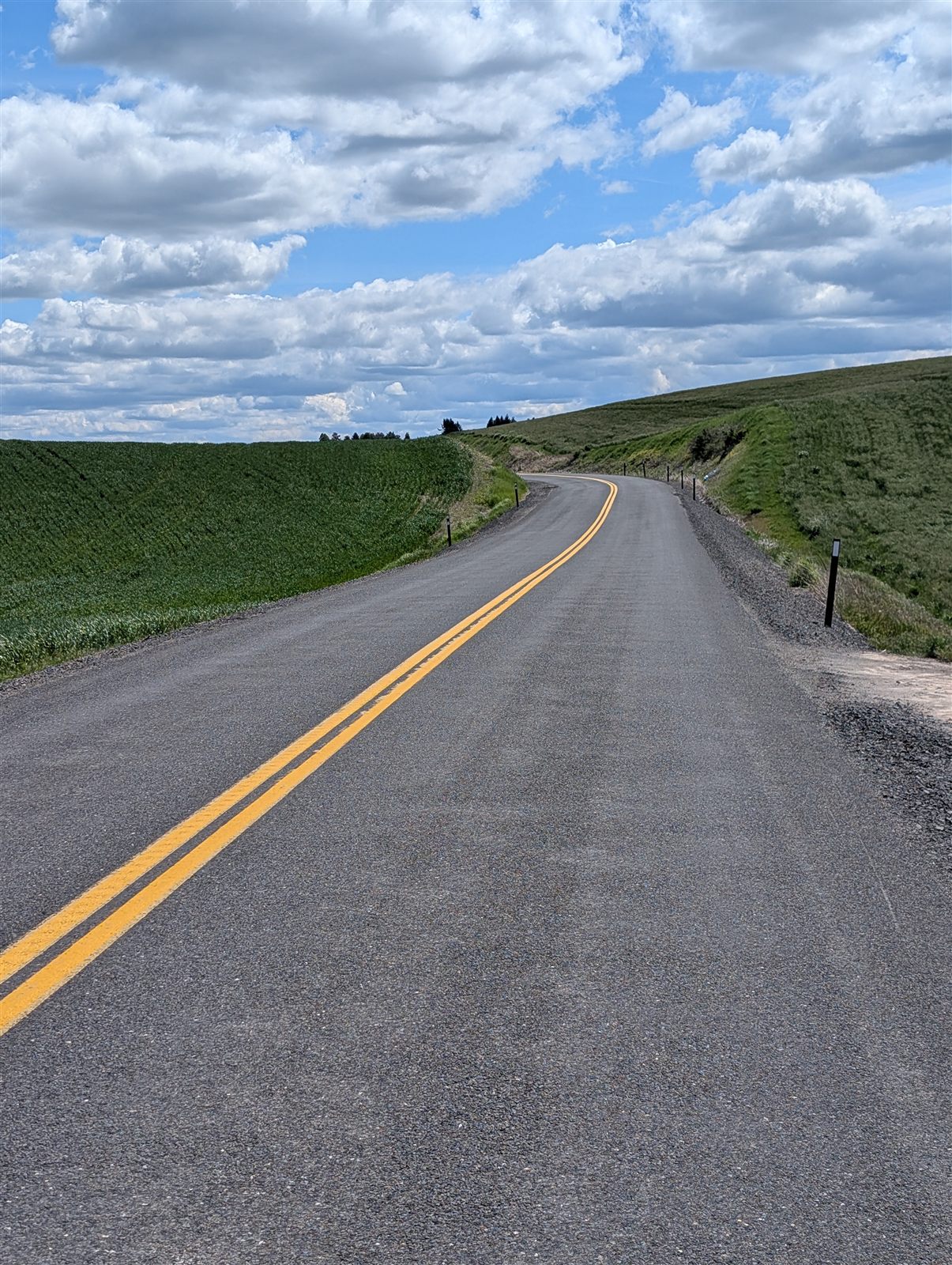
As the city loosened its grip, the landscape opened into rolling hills, horse country, and farms. A good climb marked the transition — a threshold into new scenery and quieter terrain. Once I was clear of Spokane the traffic all but vanished, and the route handed me over to back roads. The weather mostly cooperated, though I rode into a headwind on and off through the day until the last 10 miles or so.
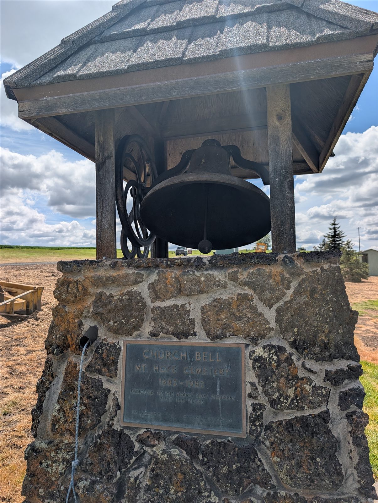
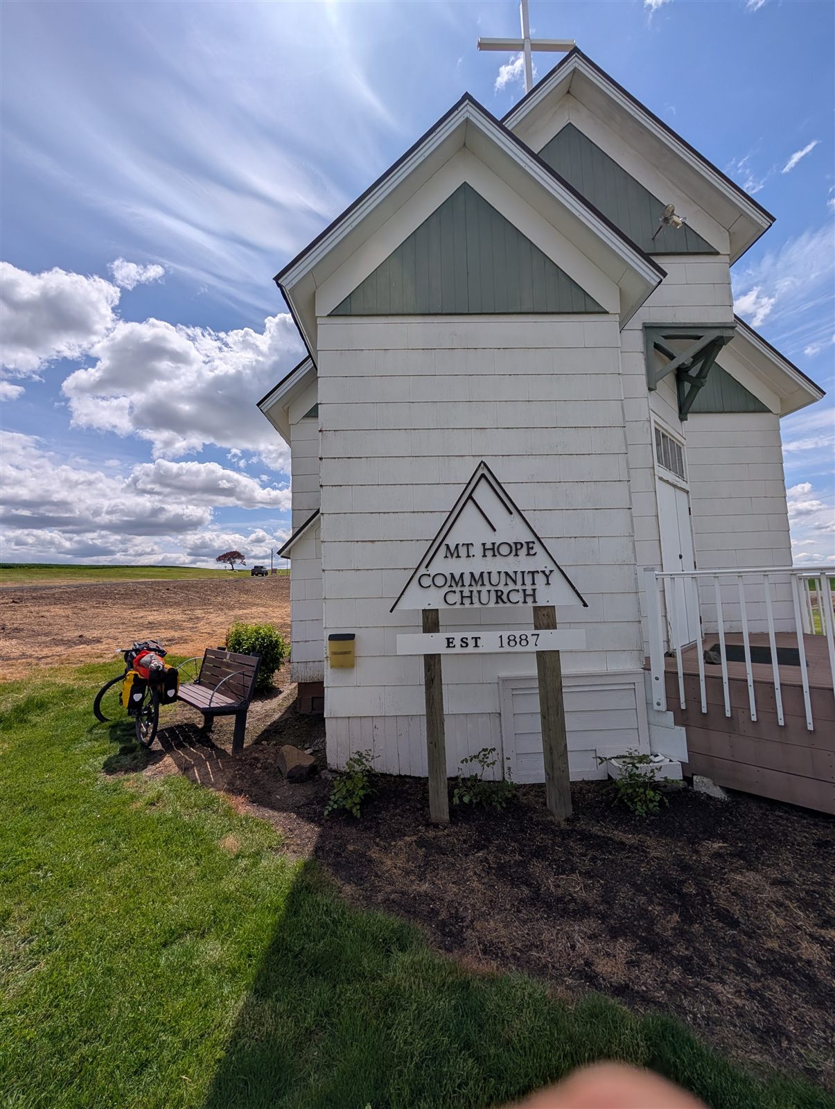
Around mile 21 I stopped at Mt. Hope Community Church, a tiny white chapel in the Palouse hamlet of Mount Hope. Its cemetery dates to 1882 and the church itself to the 1880s, and I wandered the old headstones for a while as I ate a snack. Two men were patching up the gravel driveway out back, and I couldn't resist ringing the church bell — which earned a grin and a shout from one of them: "It's time for church!"
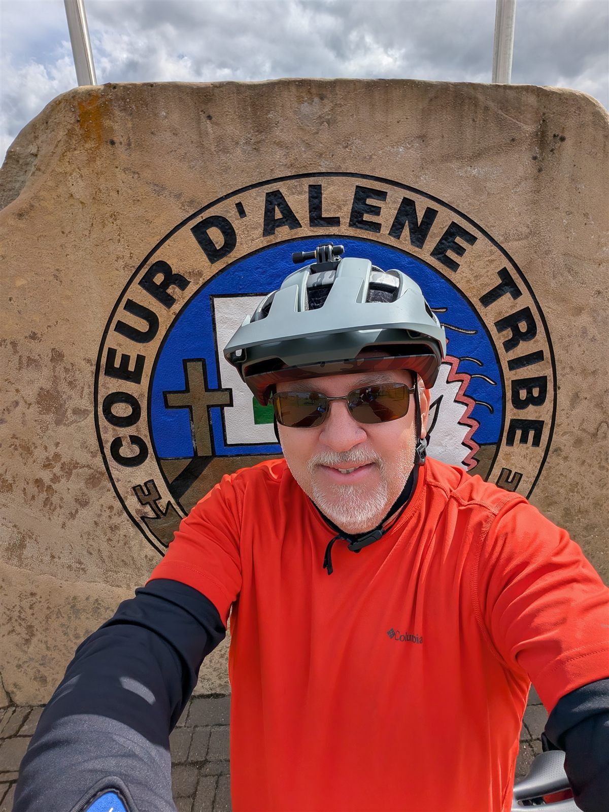
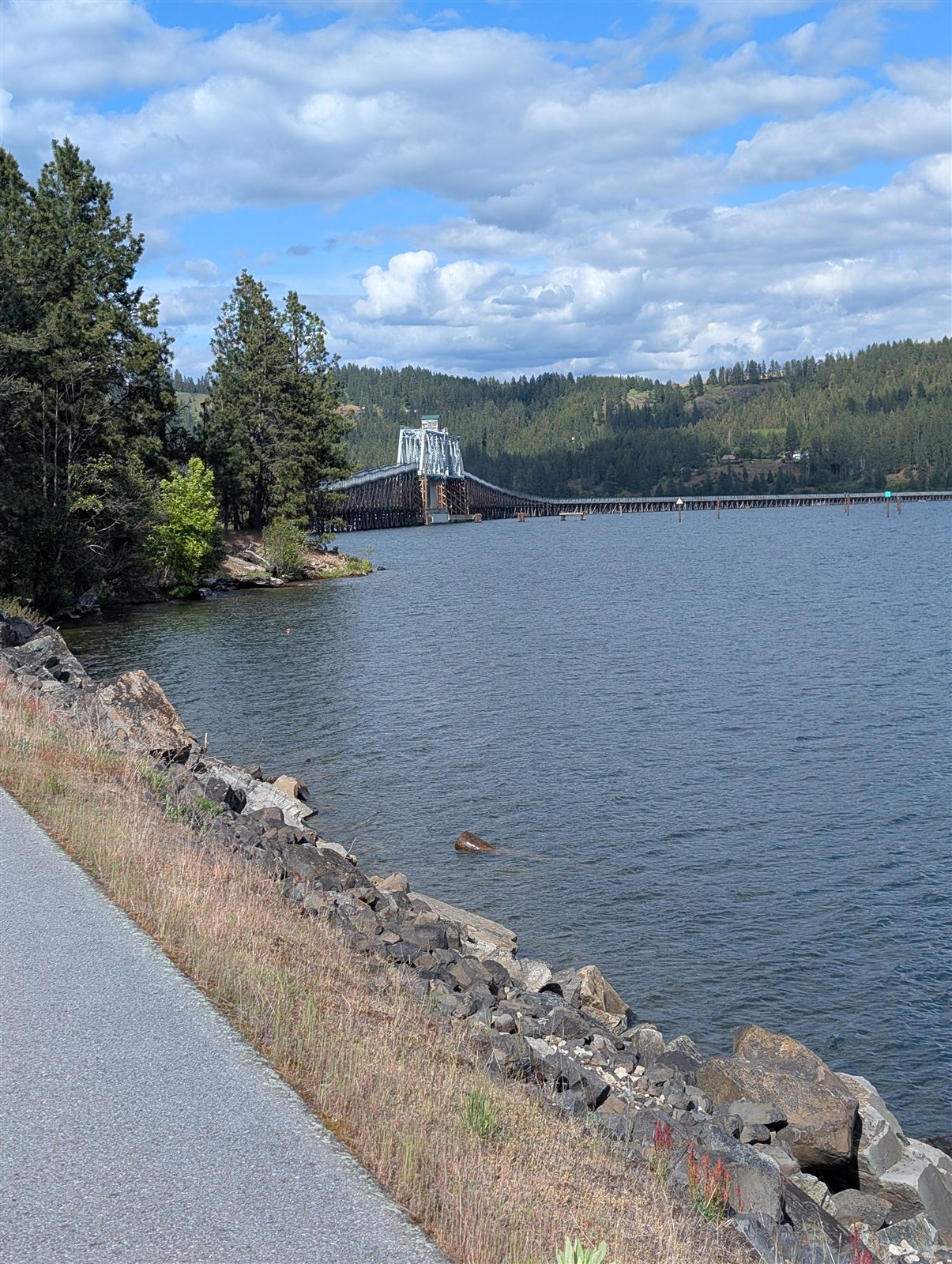
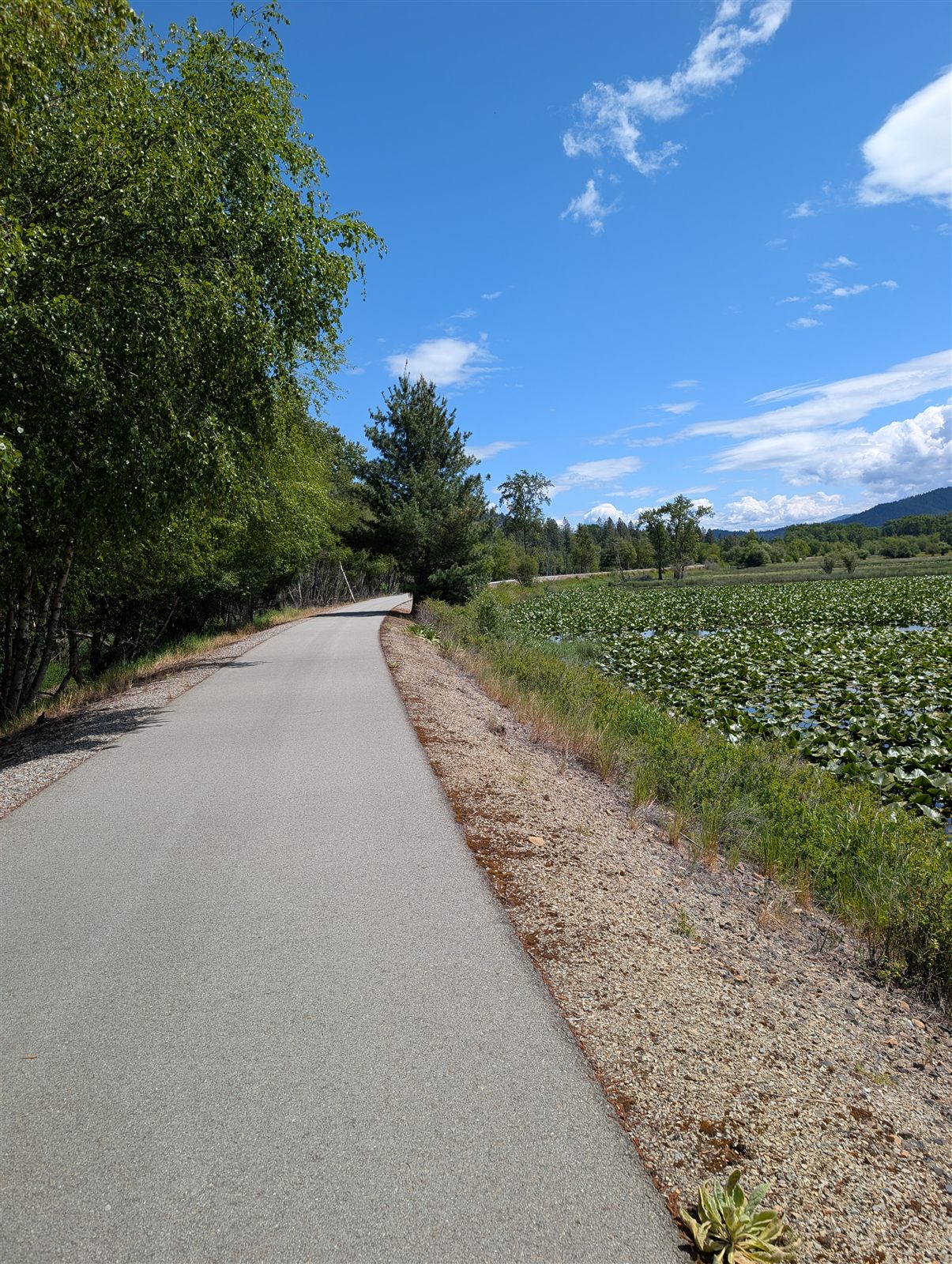
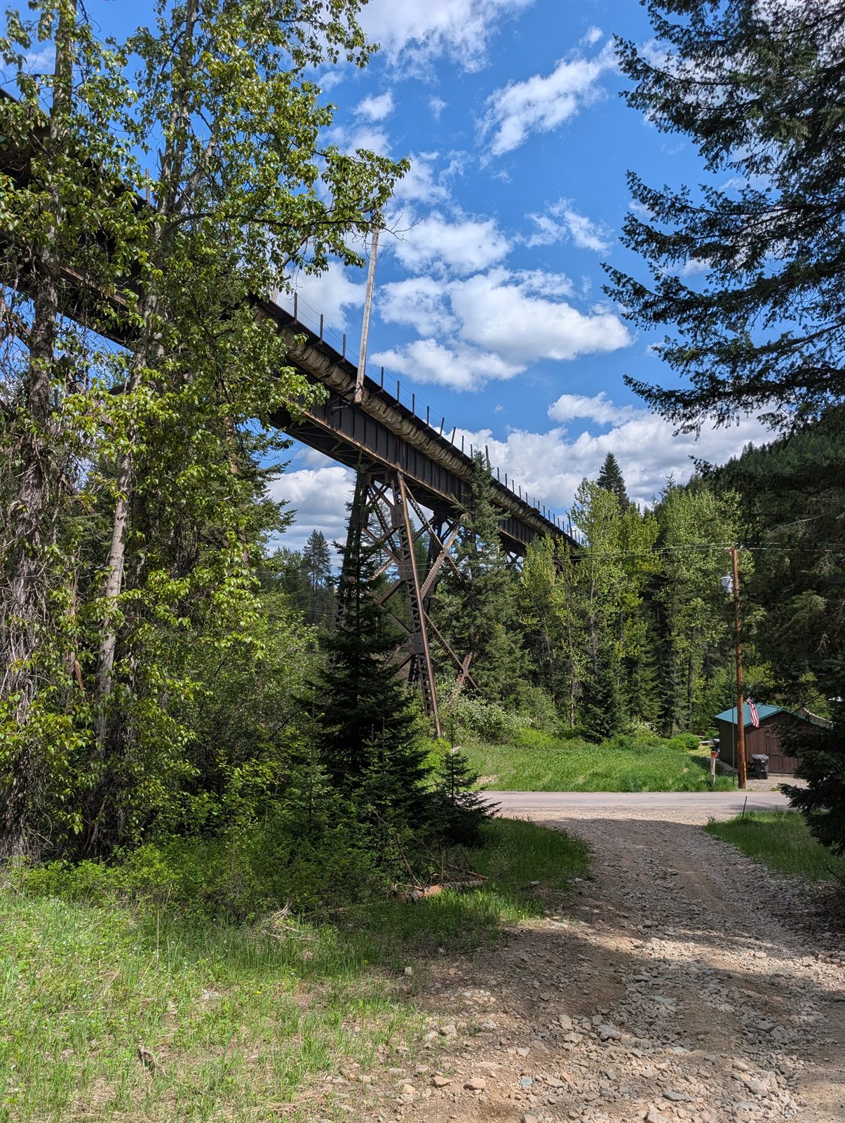
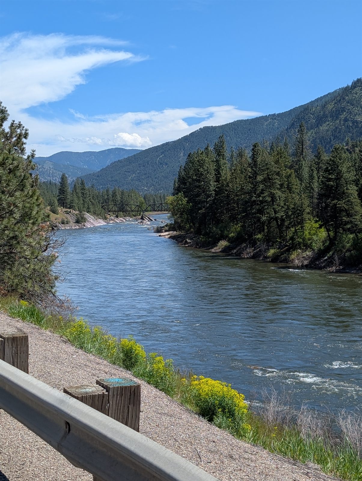
From there the ride turned deeply rural. The towns I passed through didn't offer much — no restaurants, not even a gas station for water. Another long, tougher climb lifted me into the pines before a satisfying descent dropped me into Plummer. Somewhere along the way I'd crossed into Idaho, though no sign marked the milestone. After a late lunch in town, I made the short hop to the western trailhead of the Trail of the Coeur d'Alenes — a 72-mile paved rail trail that would become the spine of this trip.
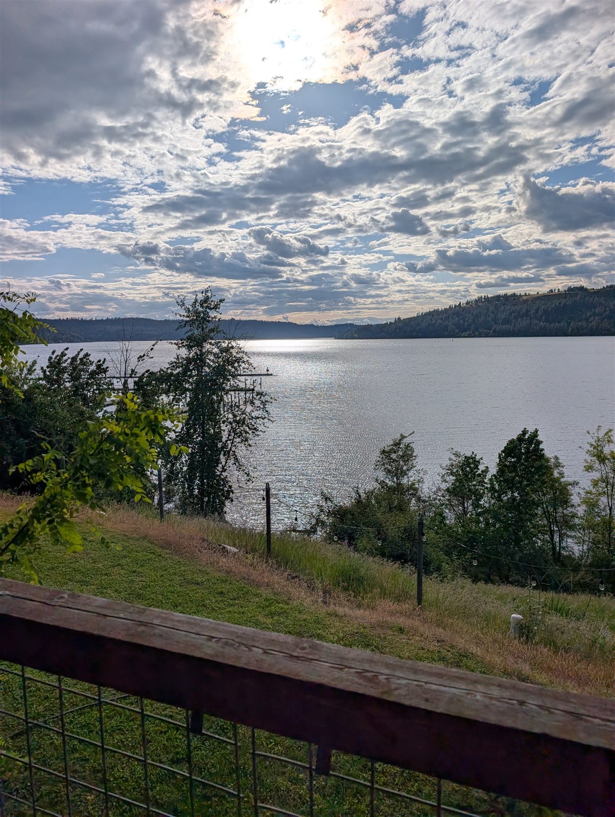
The first stretch ran mostly downhill until the land gave way to water and Lake Coeur d'Alene opened up beside me. I didn't see a single other cyclist the whole way. I rolled into Harrison, my stop for the night, to find every restaurant closed — but the little grocery store saved the day. The lone clerk offered to make me a sandwich even though the deli had already shut. That sandwich was dinner, and I tucked half away for breakfast.
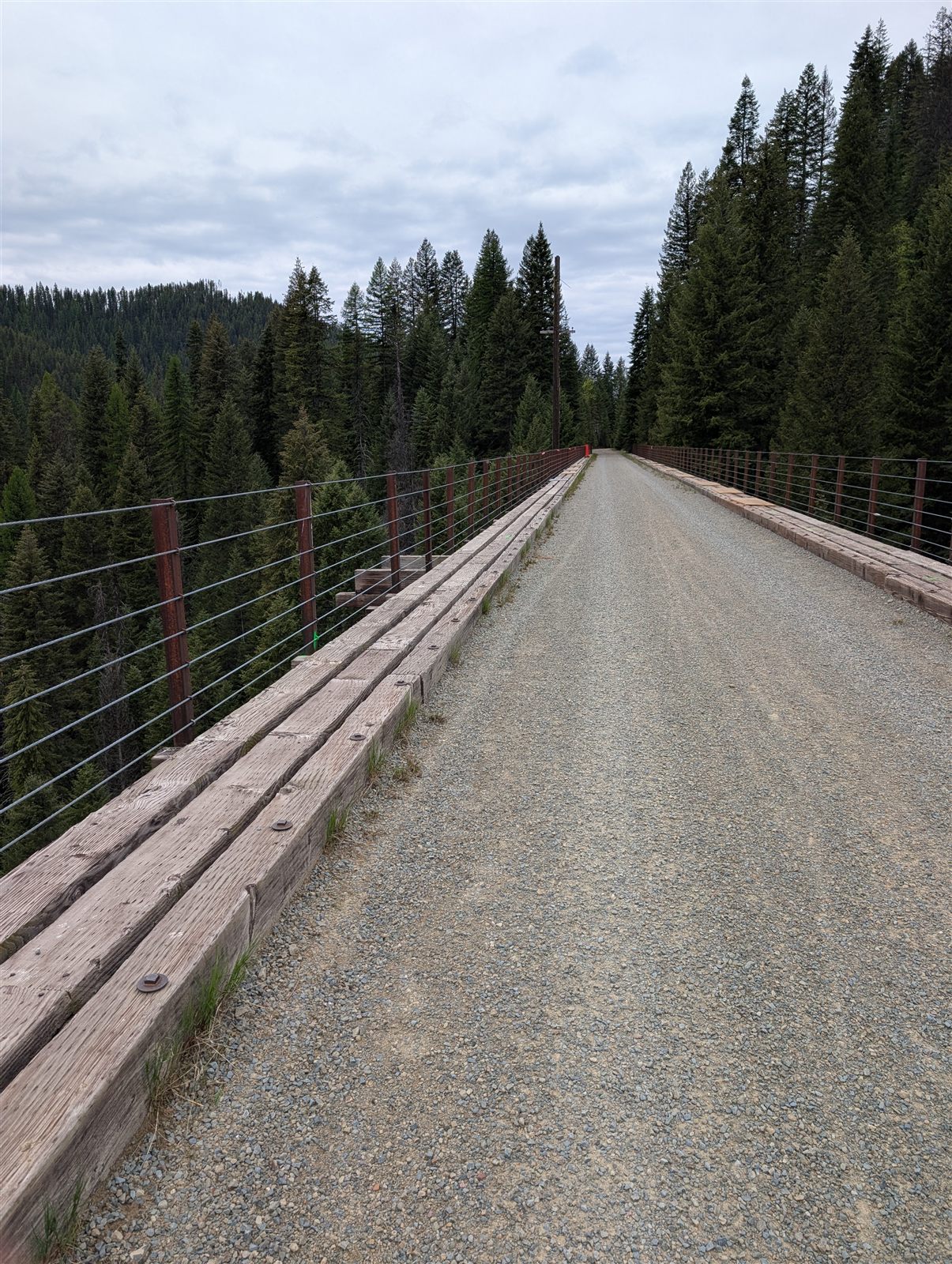
50 miles · ~1,045 ft climbing · all on the Trail of the Coeur d'Alenes
Day 2 route and elevation via Ride with GPS.
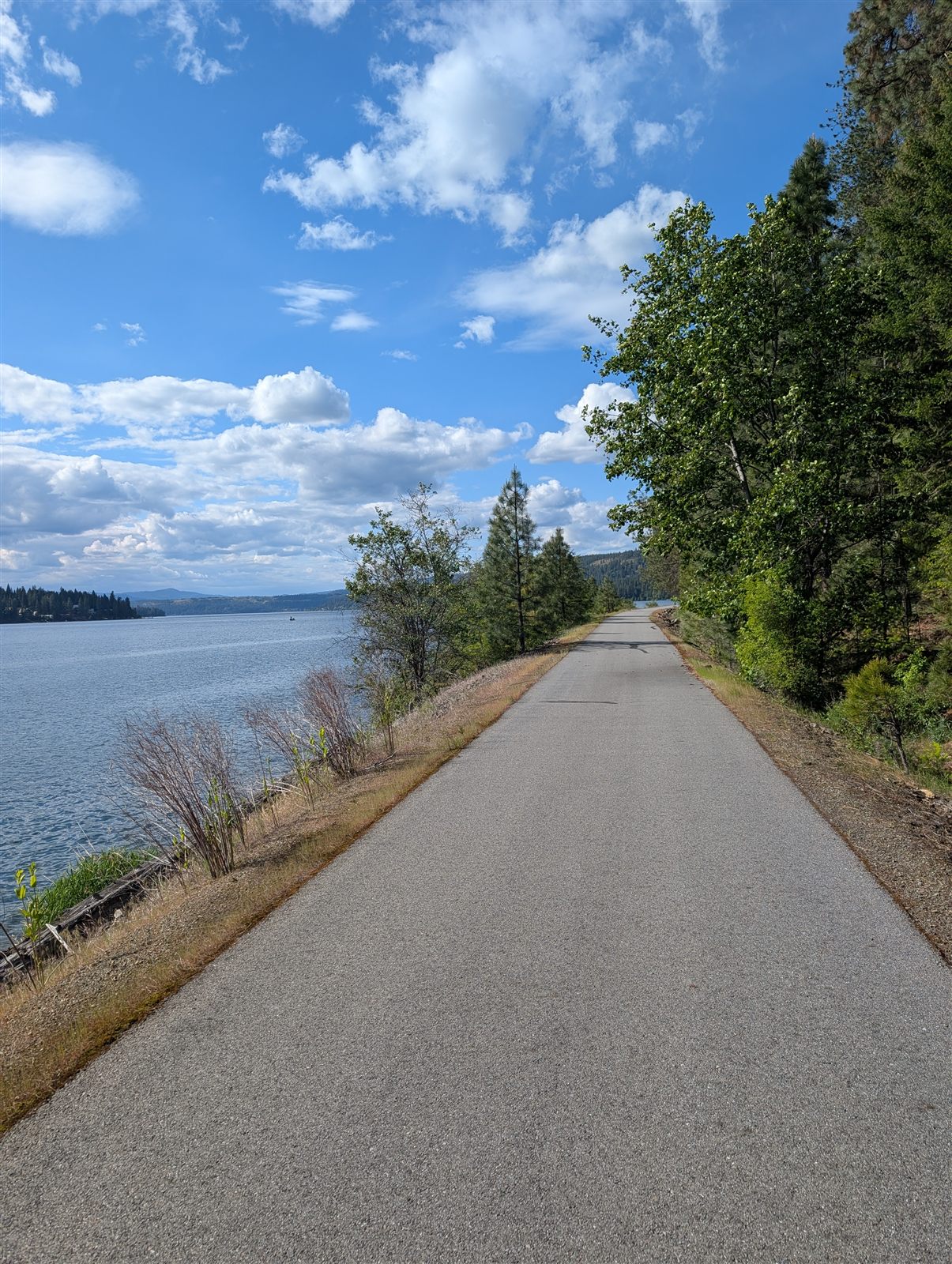
Day 2 was the easy one — 50 miles entirely on the Trail of the Coeur d'Alenes, with hardly any grade and, for once, a tailwind pushing me along. Leaving Harrison, you quickly leave the lake behind and start tracing the Coeur d'Alene River. I saw more people out today than the day before — mostly families and folks riding short sections.
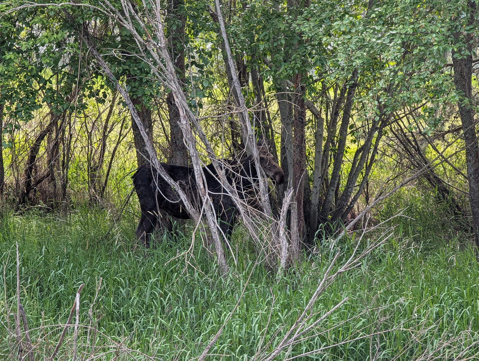
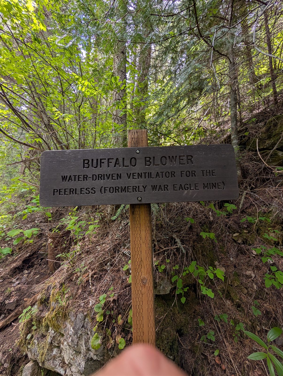
The first fifteen minutes set the tone: a seaplane practicing landings and takeoffs on a small lake, and my first moose. I stopped here and there to read the interpretive signs about the area's mining history and the mark it left on the land and the lake.
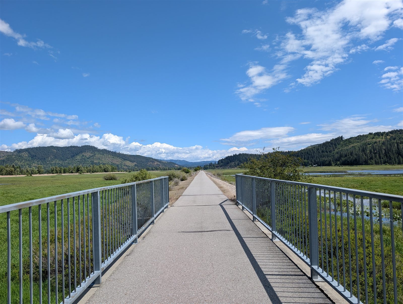
Lunch was at Timbers Roadhouse in Cataldo, right after the trail ducks under I-90 — a welcome stop, and the first open restaurant I'd seen along the way. I fell into conversation with a group riding a section on their e-bikes. Honestly, you could knock out the entire Trail of the Coeur d'Alenes in four or five hours on a regular bike, but the whole point is the stopping — the benches, the views, the river. Being just before Memorial Day, the trail was quiet, which suited me just fine.
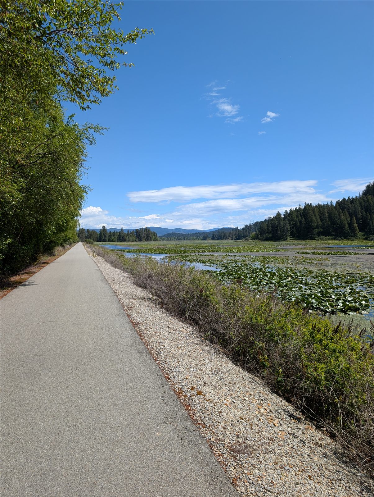
Mercifully, the trail pulls away from I-90 for a stretch after Cataldo. Most of the trail was peaceful, but this was the last stretch that wasn't right alongside the highway — calm and beautiful, with the river rushing past. I hit one detour around a section closed for construction. I knew the closure was coming, but there was no signage for the workaround; luckily a couple of riders heading the other way pointed me through, and I was back on the trail in under five minutes.
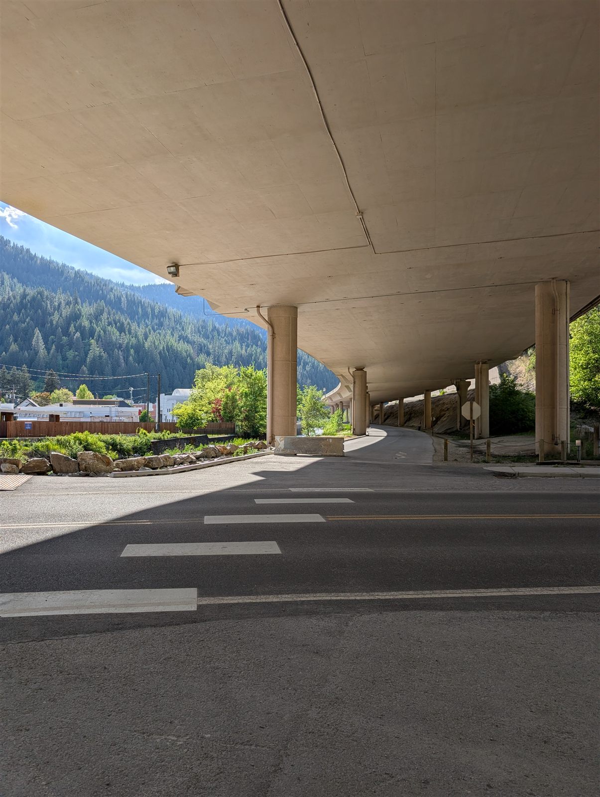
After crossing back under I-90, the riding stayed pleasant but hugged the highway most of the way to Wallace. I passed plenty of evidence of the area's mining past, including towns called Smelterville and Silverton. The final approach into Wallace actually runs right beneath an elevated stretch of I-90. I wasn't in any hurry, but the 50 miles still came together in under four hours at an easy pace.
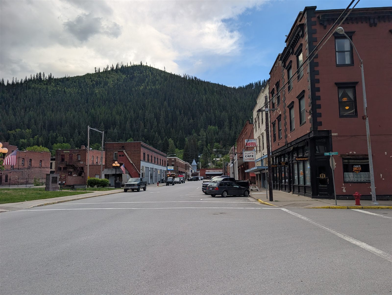
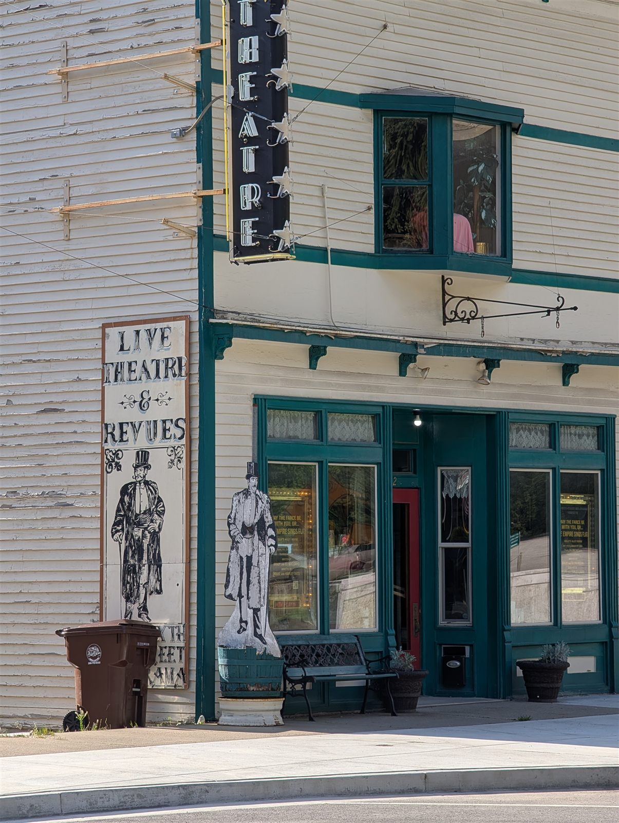
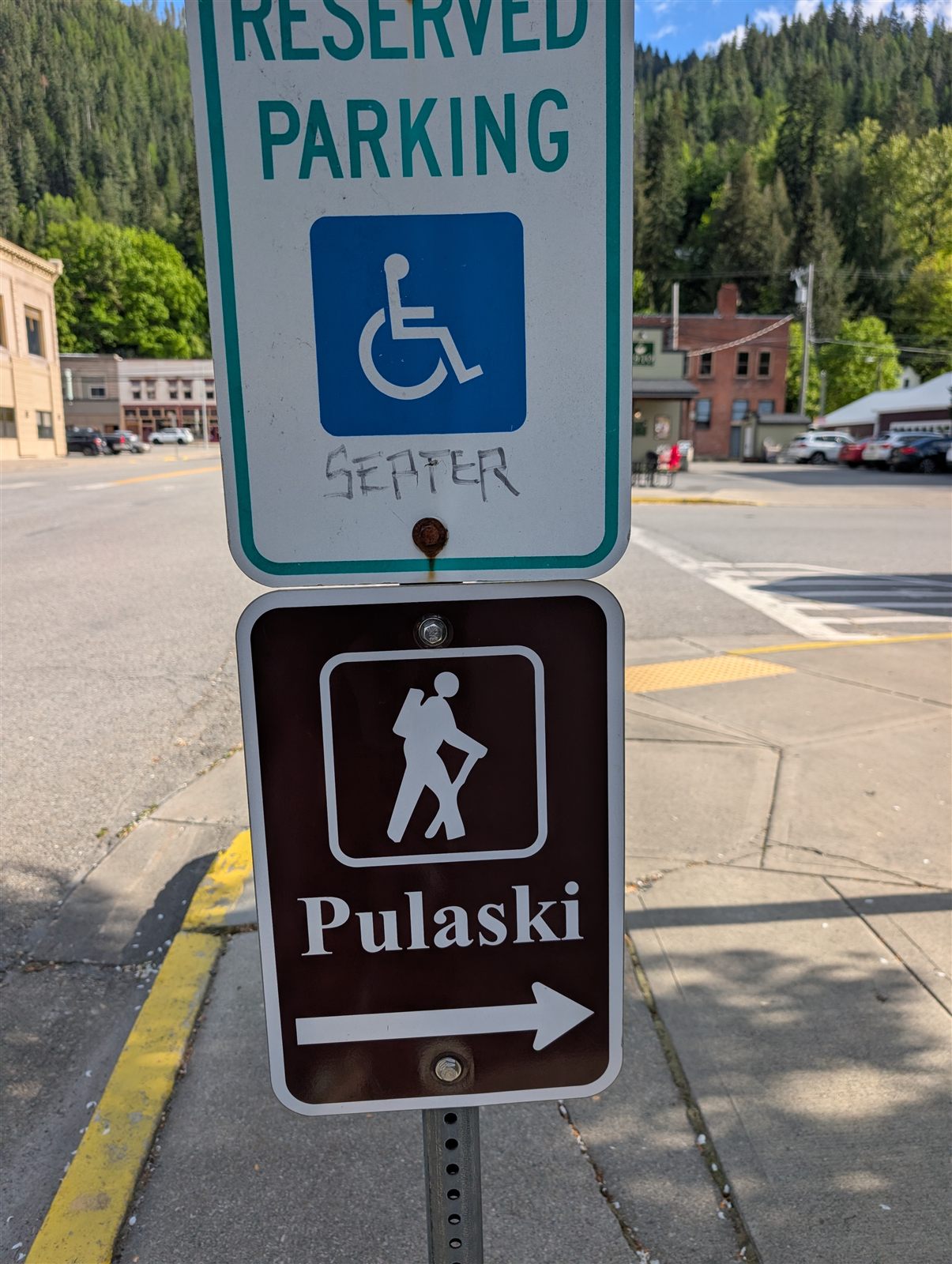
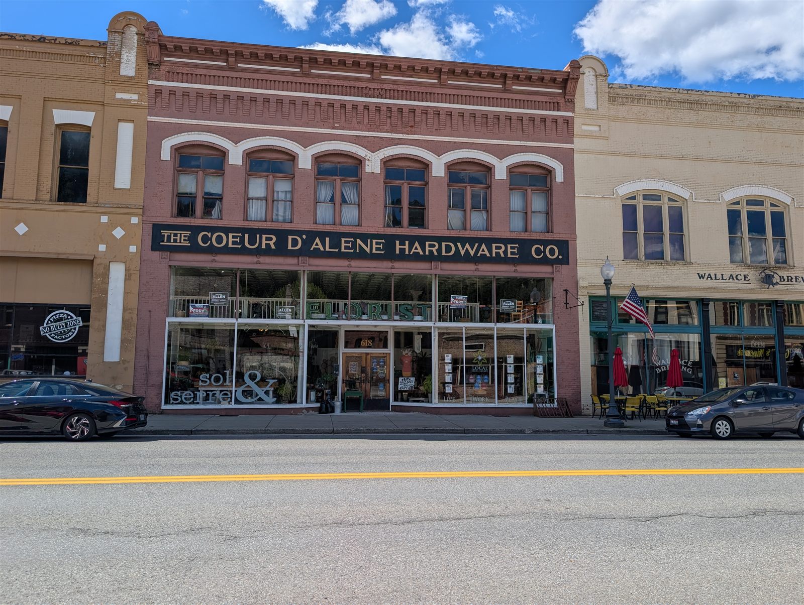
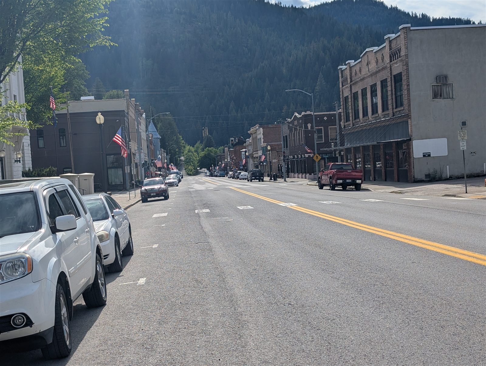
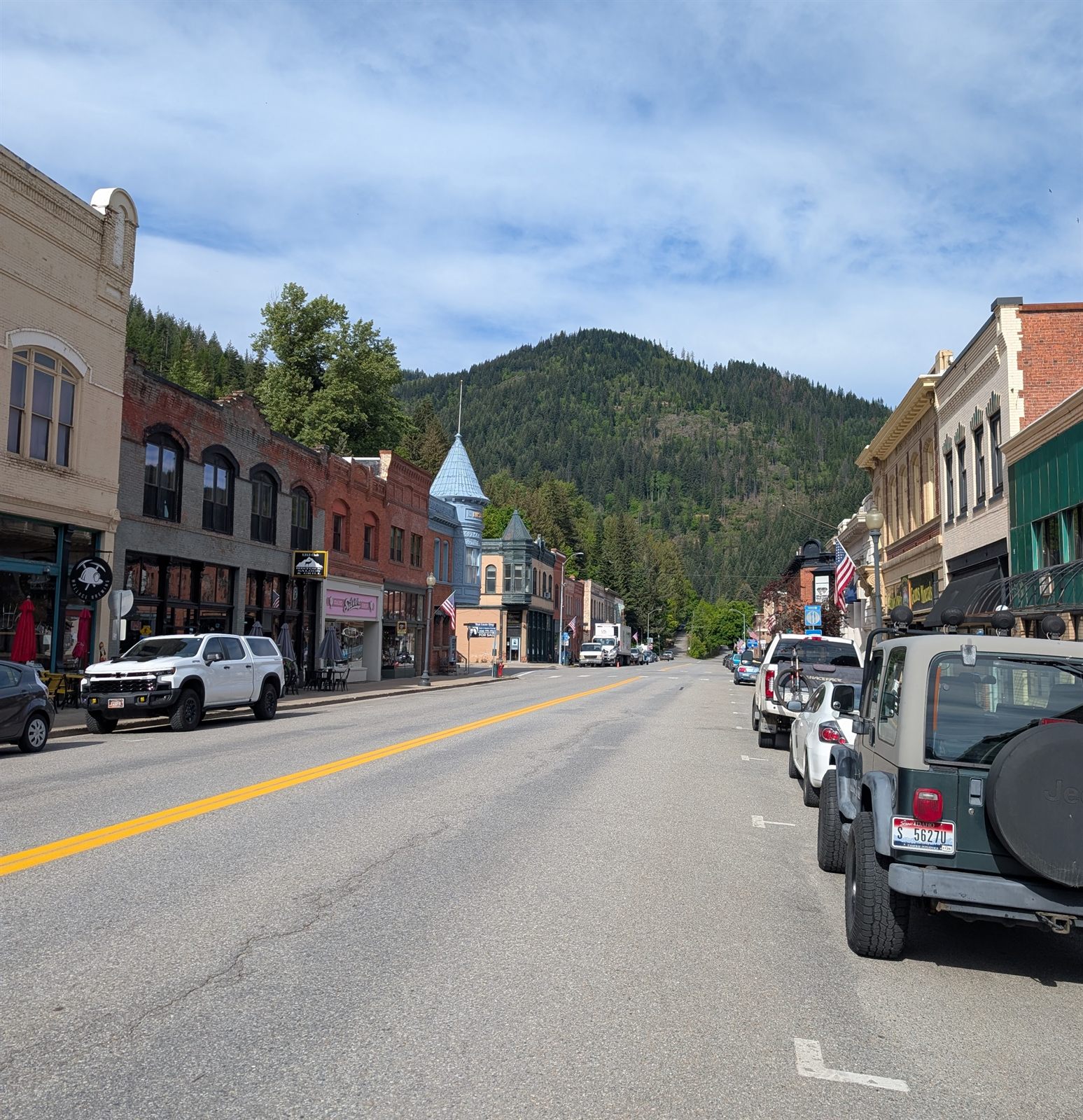
Wallace had a great vibe. I wandered the historic downtown — much of it on the National Register — before heading to dinner at City Limits Pub & Grill, a spot the hotel staff recommended. It was a great place for a beer and fish and chips, and a long chat with the bartender taught me a lot about the area. I sampled a few beers, loaded up on water, and noticed a sign for the Pulaski Trail that piqued my interest. I'd planned on a single night in Wallace — but by the next morning, that plan had changed. More on that later.
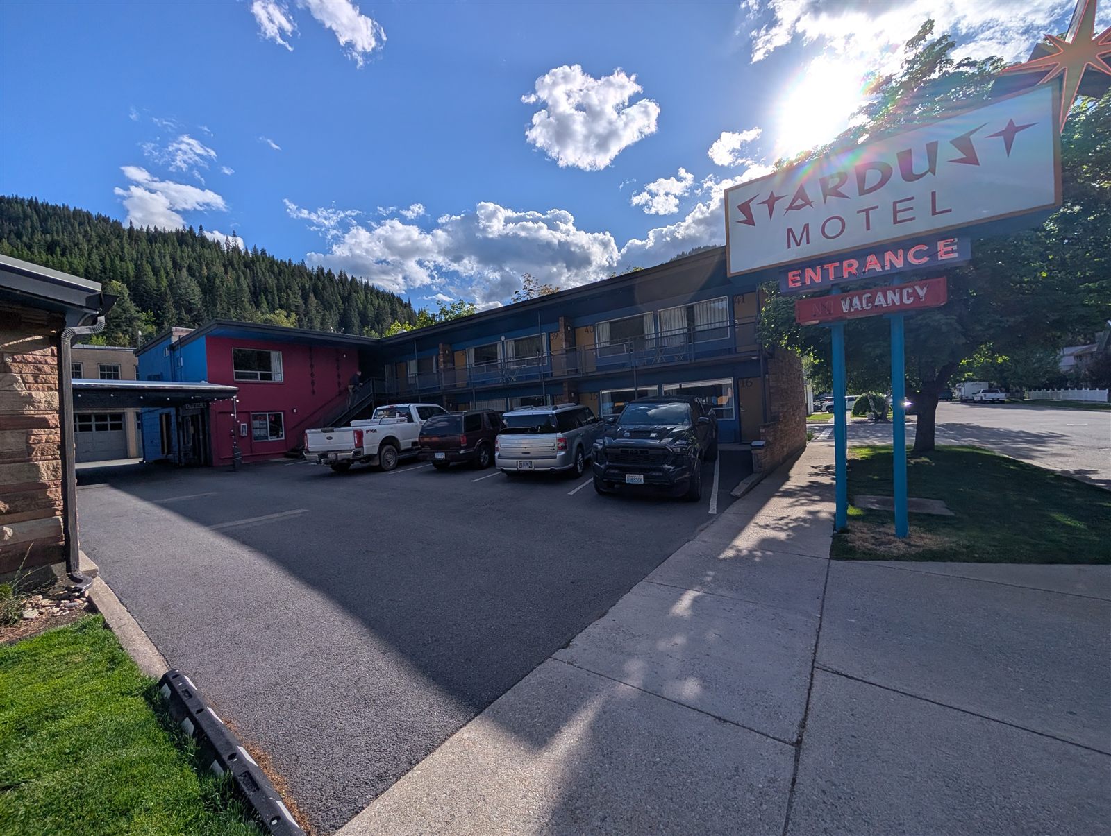
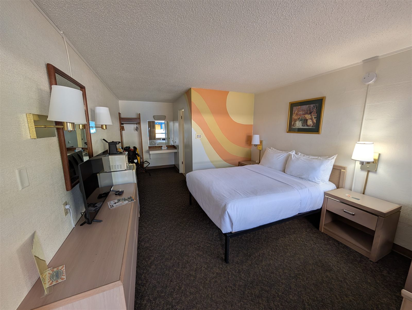
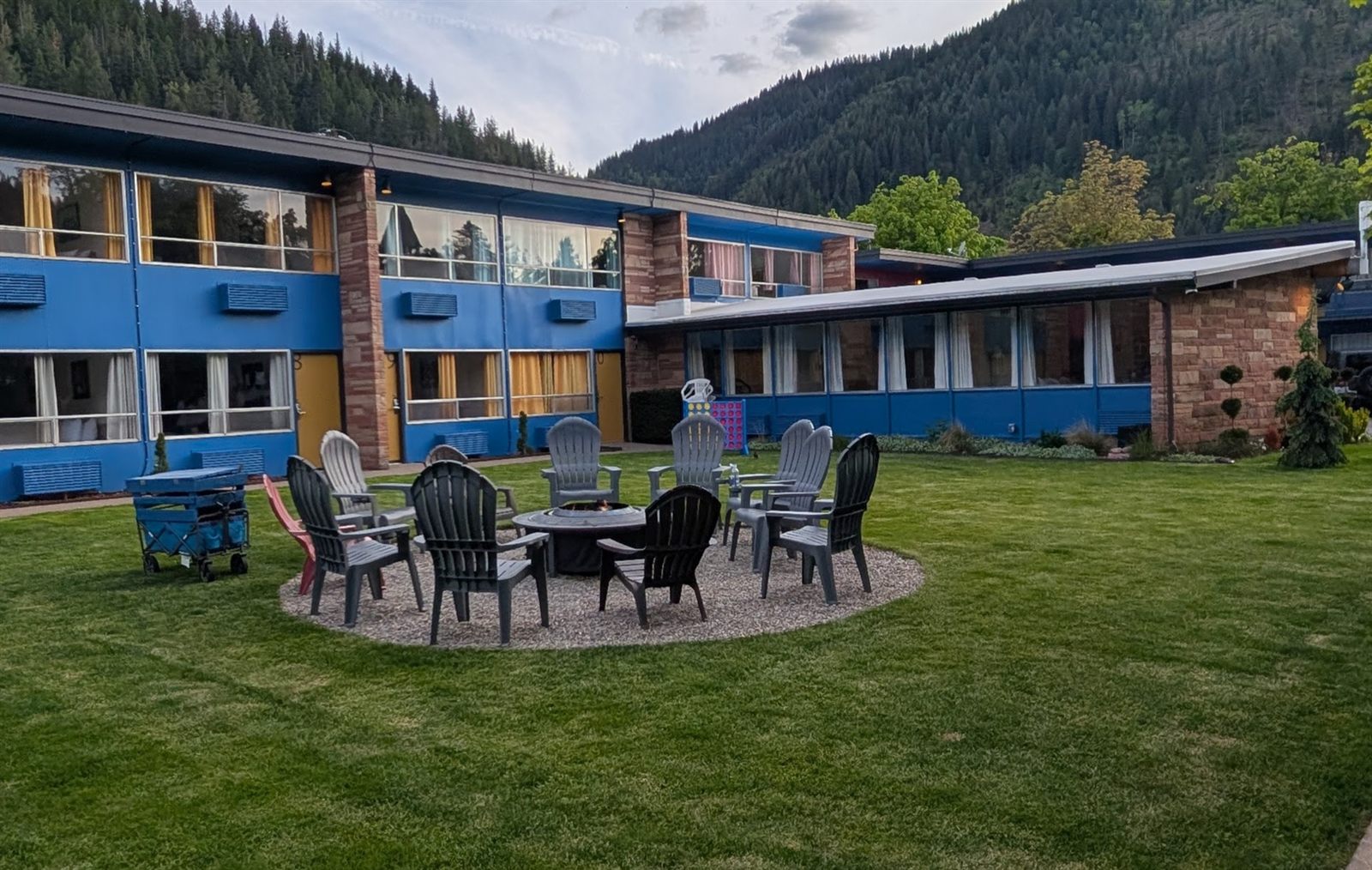
I stayed at the Stardust Motel, a historic spot that's been tastefully updated — it reminded me of the old motels you see along Route 66 back home in Arizona.
No riding · Pulaski Trail hike · waiting on the Hiawatha to open
I'd originally planned on just one night in Wallace, Idaho, before continuing east toward Montana. But when I found out the Route of the Hiawatha — the famous rail-trail I'd been hoping to ride — was opening for the season the very next day, I changed my plans and decided to stay two more nights. So a rest day it was: a chance to enjoy Wallace, then ride the Hiawatha on opening day. I had a late breakfast in town, did some laundry in the hotel-room sink, and set out to explore.
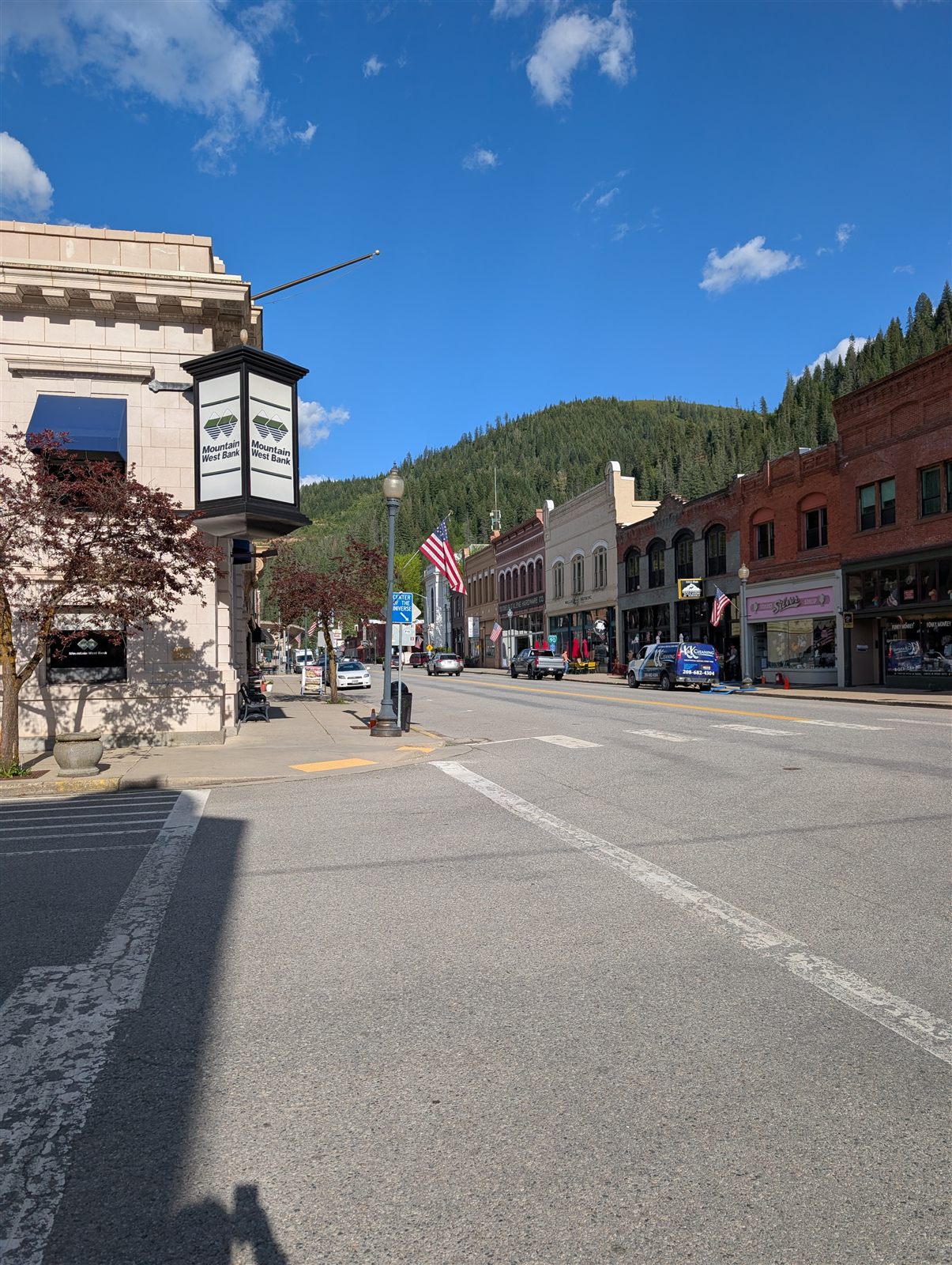
Wallace makes exploring easy. The entire commercial core of downtown — every building along Main Street — is listed on the National Register of Historic Places, so a wander through town is essentially a stroll through a preserved turn-of-the-century mining boomtown.
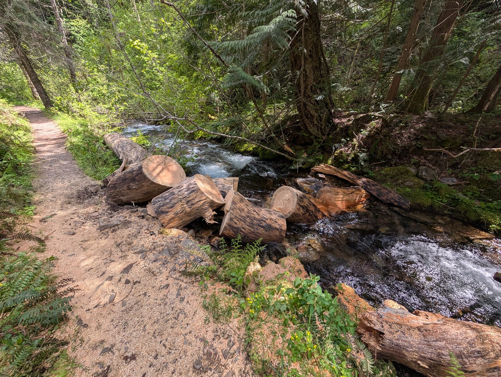
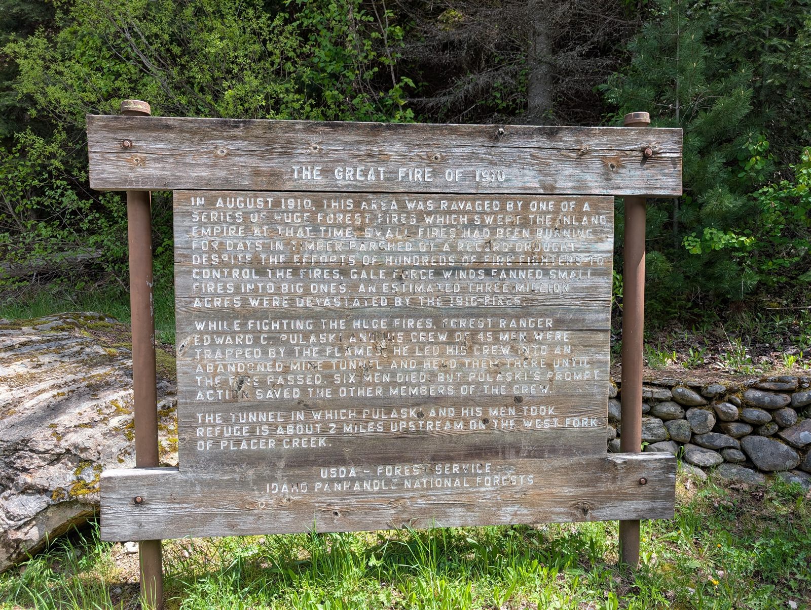
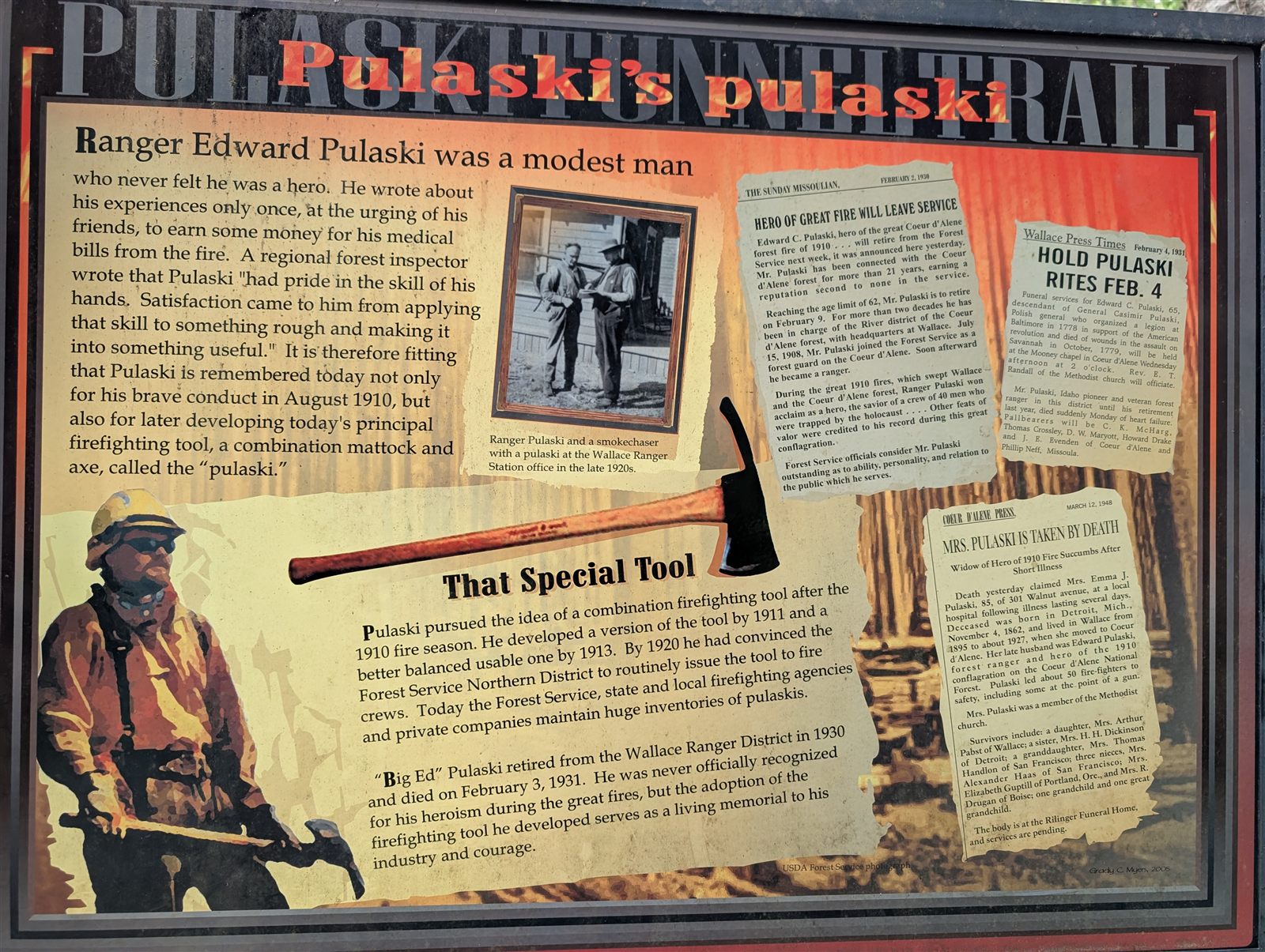
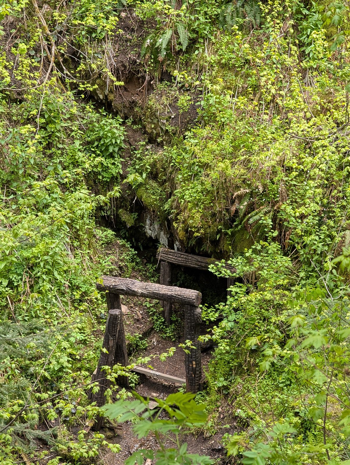
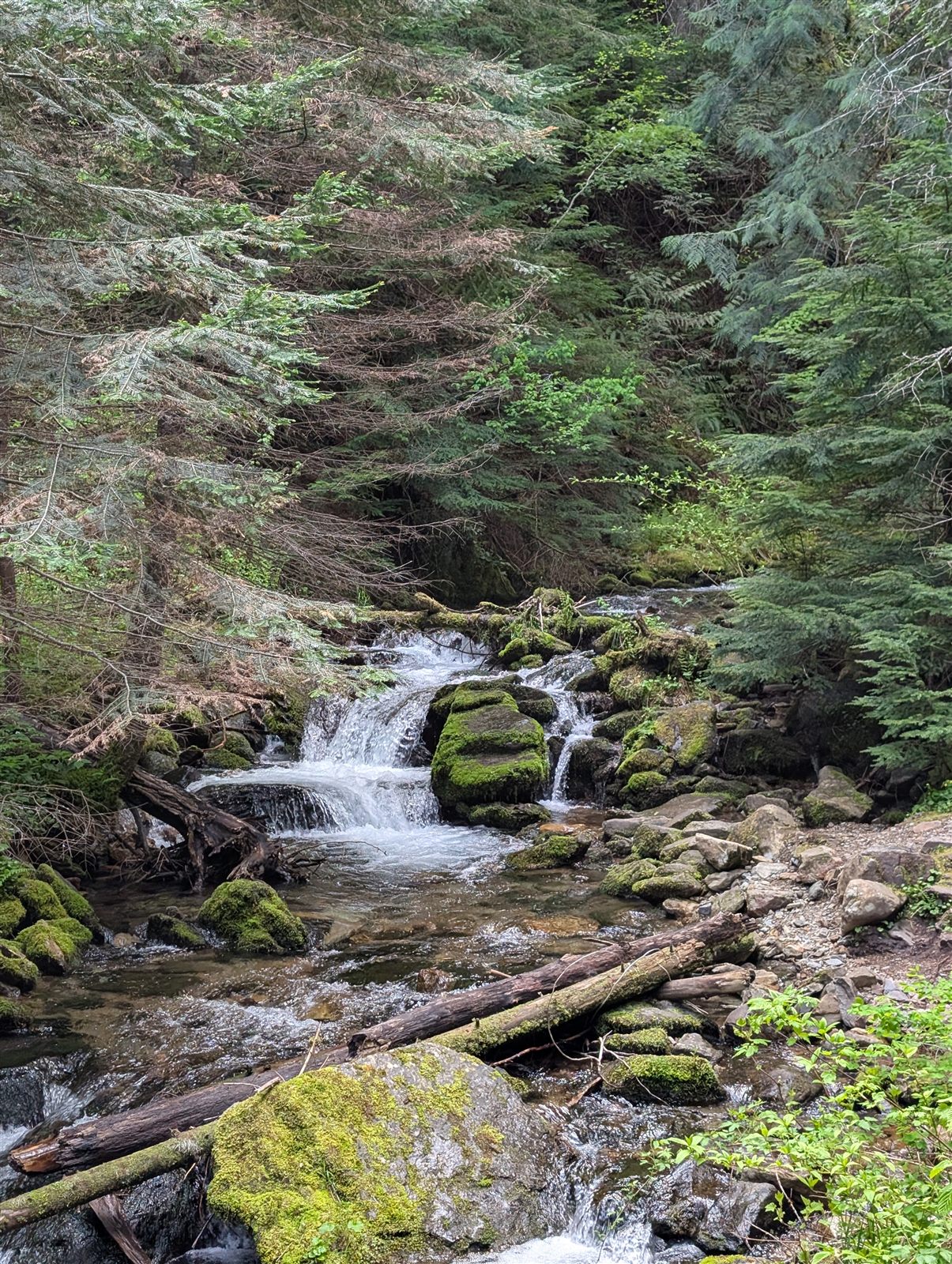
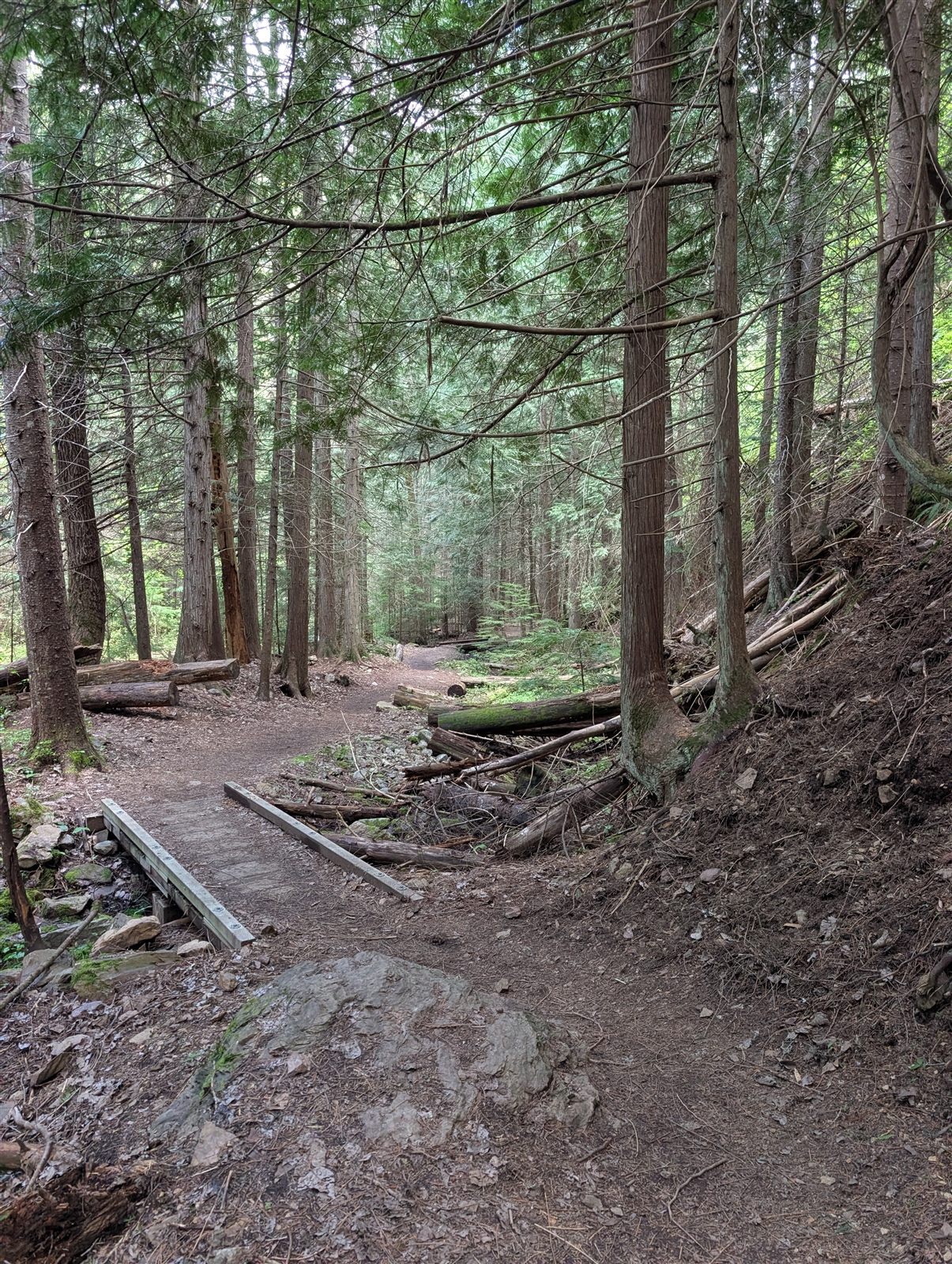
For a "rest," I decided to hike the 4-mile Pulaski Trail. It's about a mile and a half on foot through town just to reach the trailhead, then a steady climb up the West Fork of Placer Creek.
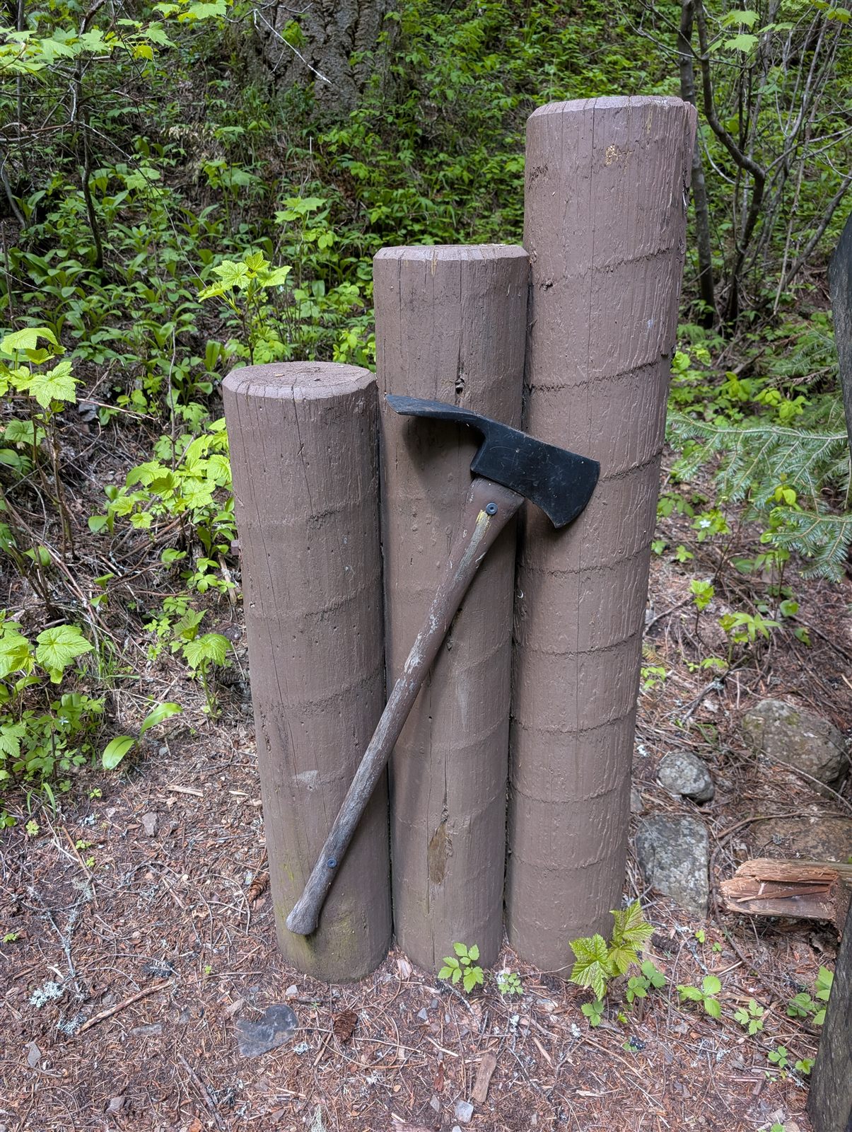
The trail is named for Edward Pulaski — and the story behind it is one of the most remarkable in the history of American firefighting.
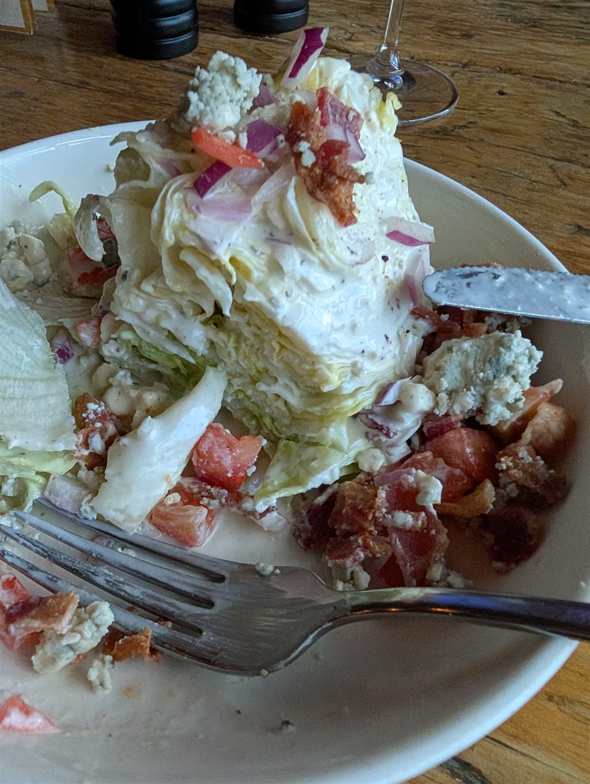
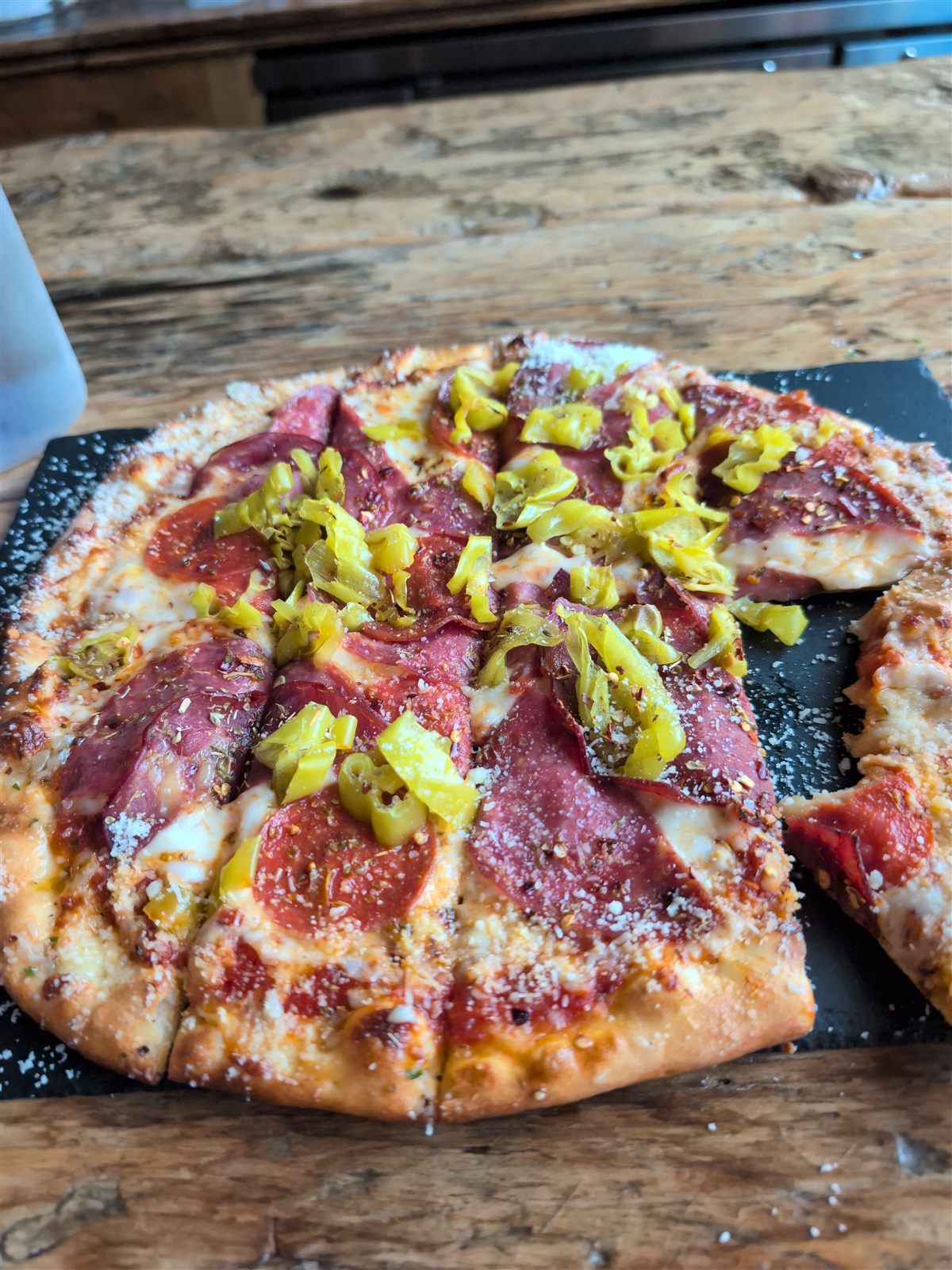
Dinner that night was at the Fainting Goat, where I had a great wedge salad and an amazing pizza — saving half the pizza for breakfast the next morning. I also got to meet the owner, and we had a great chat about his restaurant career and how he ended up in Wallace, Idaho. As the sun went down, I sat around the fire pit the Stardust staff had lit. Another memorable, thoroughly enjoyable day in the books.
My watch logged almost 23,000 steps — not so much of a rest day, but memorable nonetheless. Tomorrow I'm up early: a 7:30 AM shuttle to the start of the Route of the Hiawatha.
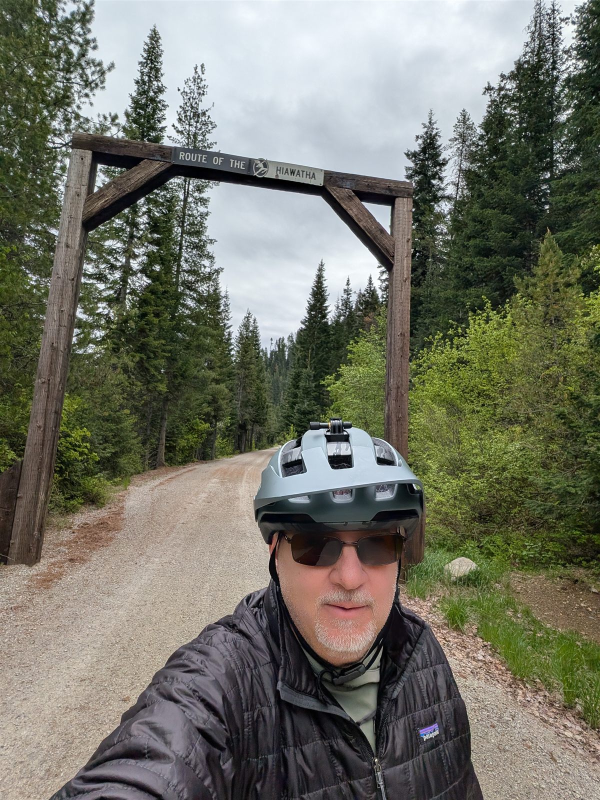
Opening day · ~30 miles all told · 9 tunnels & 7 trestles
My hotel ran its own shuttle for the 21-mile trip over the mountain pass to the Hiawatha, and I had it entirely to myself — just me for the whole ride up. Plenty of other riders were heading up too, though, on other shuttles or in their own vehicles; I overheard one of the workers say they were expecting around 150 riders for the trail's opening day. As we pulled off the highway exit, the driver told me I'd have to ride the final two miles uphill on a gravel road to reach the trailhead — they'd found out the night before that their shuttle was no longer allowed to drop riders at the Hiawatha parking lot. What's another two miles when you're riding a few hundred on this trip?
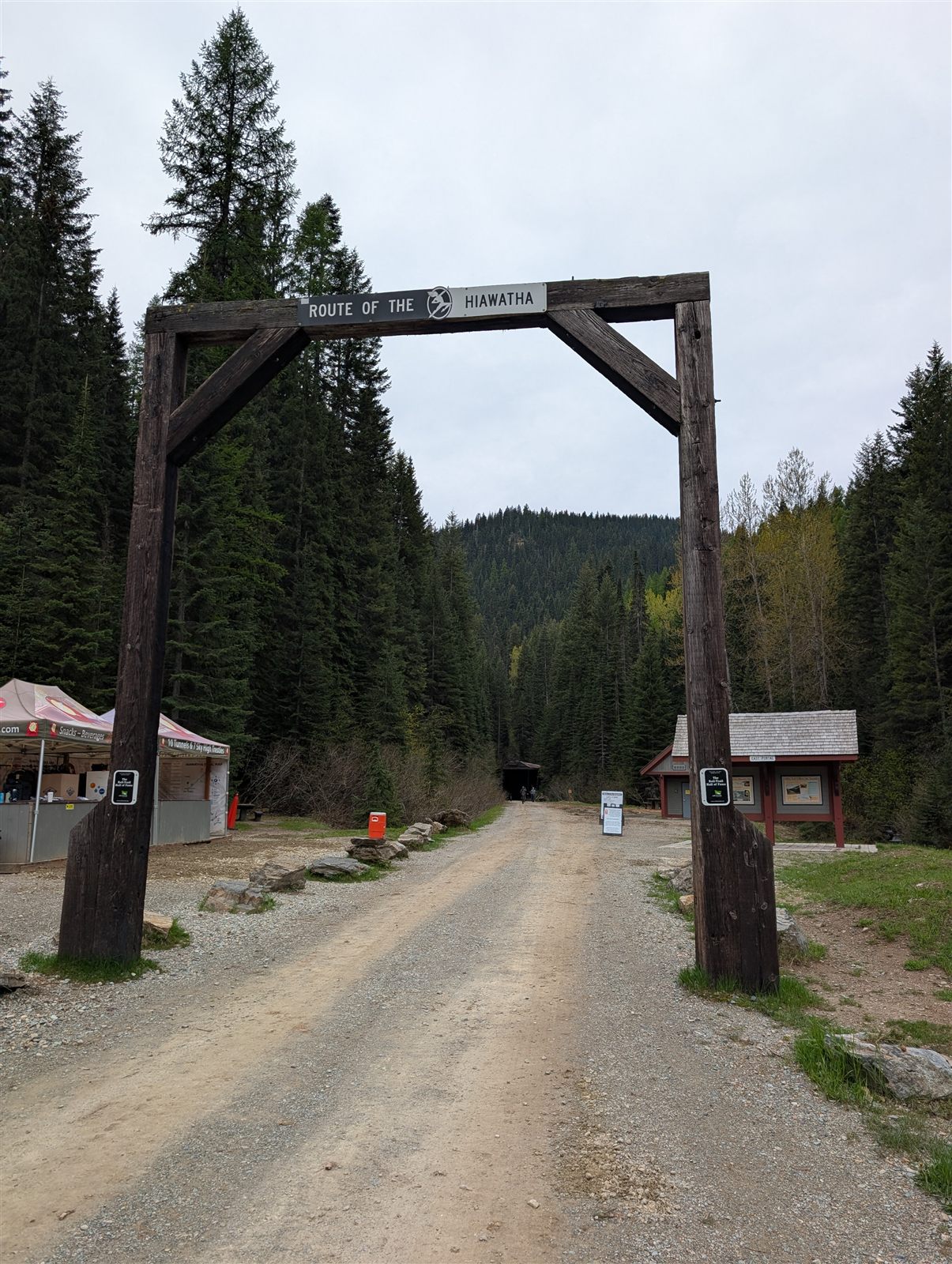
Since it was the first day the trail was open for the season, the Hiawatha crew was still getting set up — I ended up being only the third person to start. And the trail begins with a bang: a 1.6-mile tunnel with no lights. It was a chilly, overcast morning in the 40s, and the tunnels sit around 45°F all year, so the first one was a cold, wet, pitch-black ride. I didn't mind a bit — I trailed a couple on e-bikes about a hundred yards ahead and let their tail-lights pull me through. By the time I finished, the trail had filled in a good deal — though still nothing like a summer-weekend crowd.
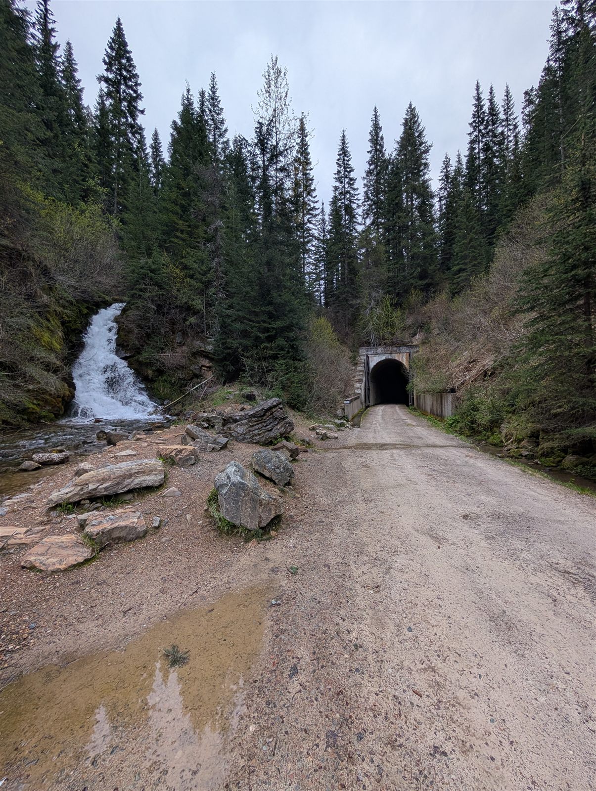
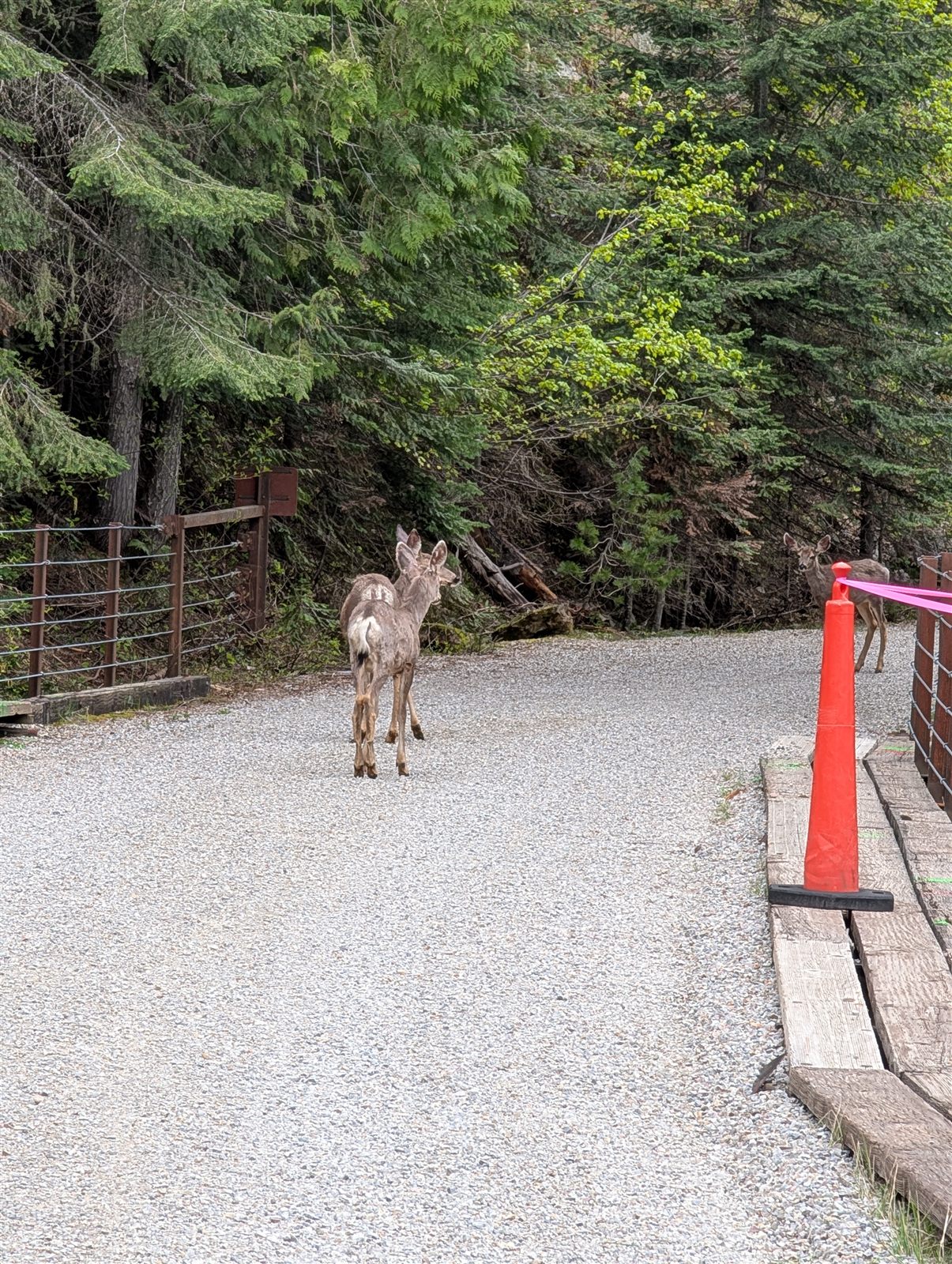
From there it's one spectacular tunnel or trestle after another, the valley dropping away beneath the high steel decks. I had two deer encounters along the way — one right inside a tunnel, and a small group about fifty yards before the end of a trestle. It would have been even prettier on a sunny day, but honestly I loved it in the cool, cloudy quiet. I rode in my puffy jacket, a few layers, and gloves to stay warm.
🎥 Riding the Route of the Hiawatha

By the time the shuttle dropped me back in Wallace that afternoon, I was down to shorts and a t-shirt in full sun — the day had completely turned around. Between the Hiawatha, the gravel climb to the trailhead, and pedaling around town, I covered about 30 miles on the day. I'd skipped lunch, so I had a beer and an early dinner at the 1313 Restaurant in town, then wandered over to the grocery store for some fruit and supplies for the next day's ride and to enjoy the town a little more.
Back at the hotel, I washed the bike down with the bike towels the Stardust keeps on hand just for that. You're told to expect mud and dripping water on the Hiawatha and to just embrace the mud-slick stripe up your back and butt by the end. No complaints. As evening set in, I was back around the fire pit.
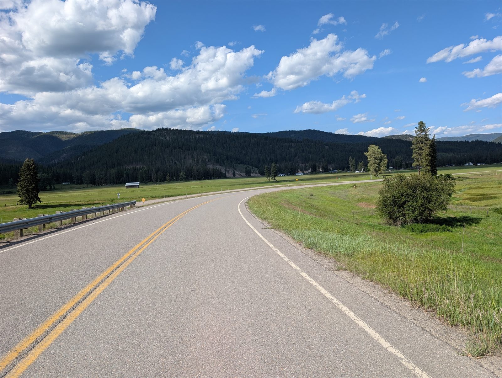
53.5 miles · ~2,300 ft climbing · Idaho → Montana, over Lookout Pass
Day 5 route and elevation via Ride with GPS.
Leaving Wallace was bittersweet — I'd had such a great time in the area that I was sorry to go, but I was also genuinely excited about the day ahead. I had a solid route planned, but a few unknowns came with it: the rail trails over the mountains were new to me, including a rumored detour around a collapsing railroad tunnel that may or may not have had a rideable way around it. Part of the appeal of a day like this is not knowing exactly how it'll go.
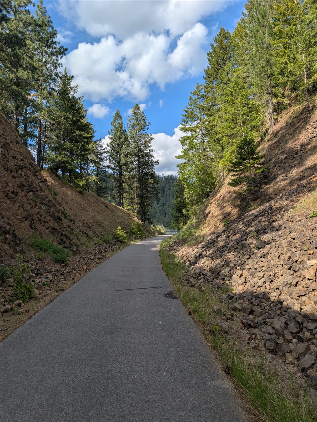
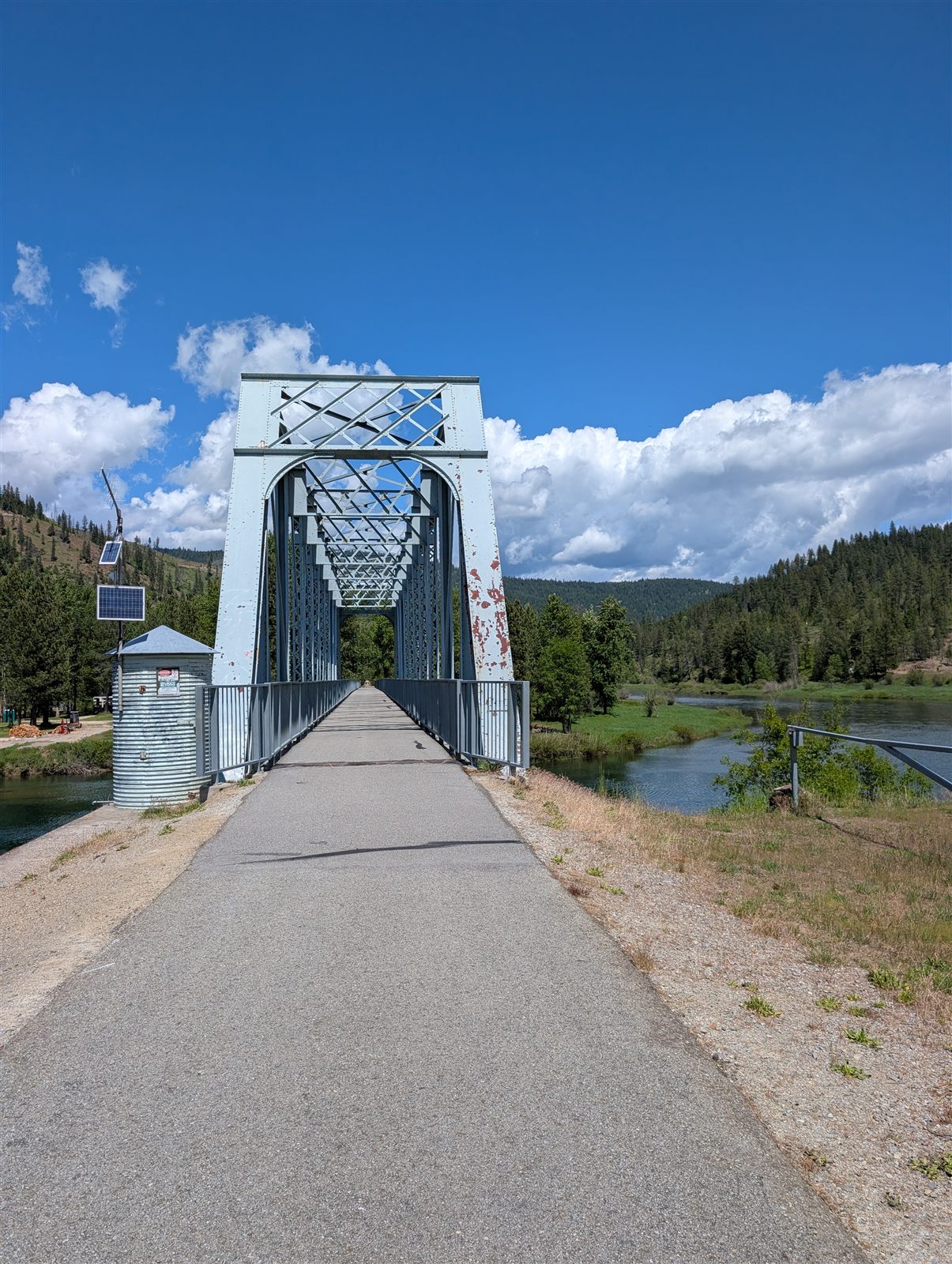
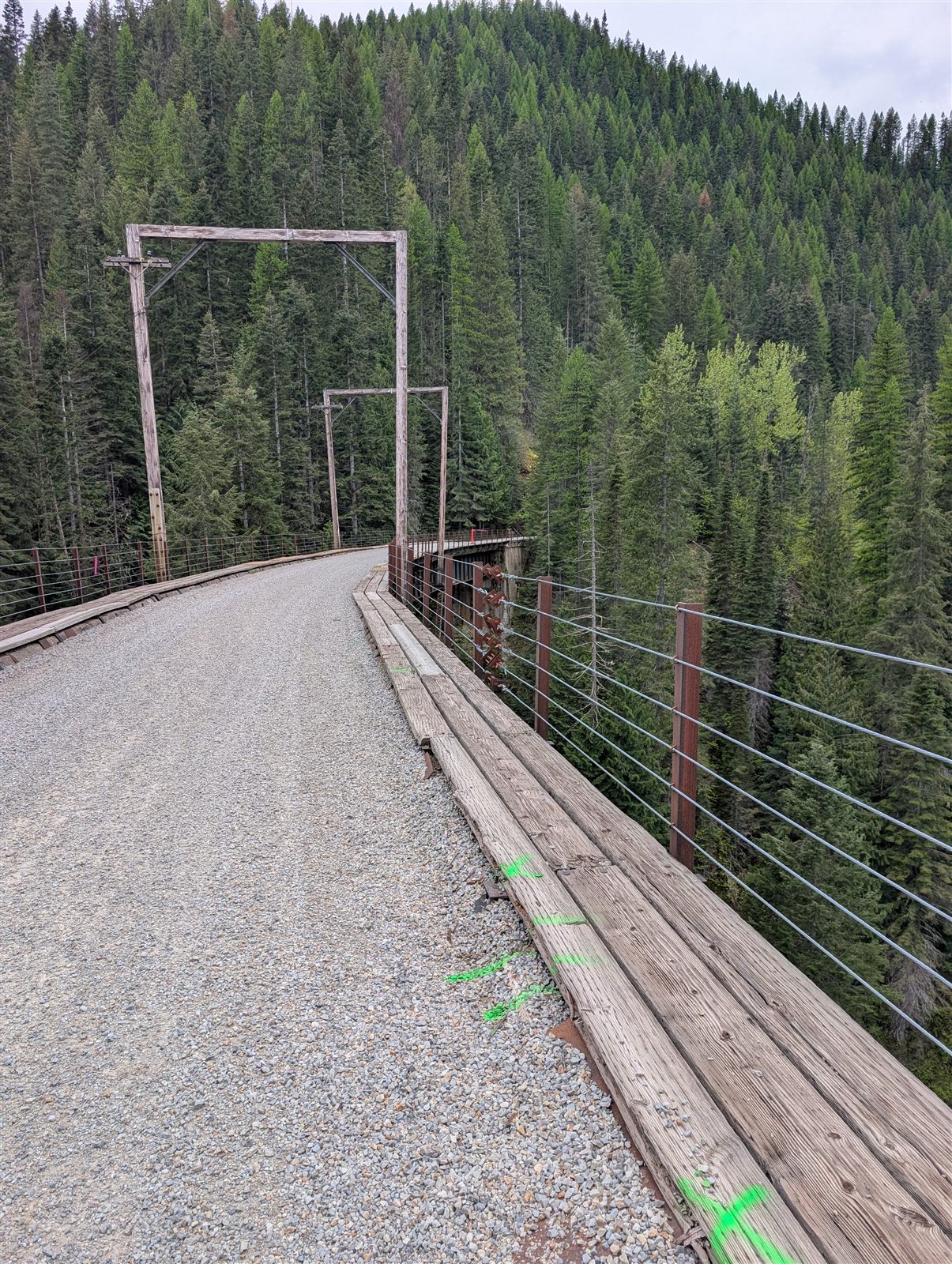
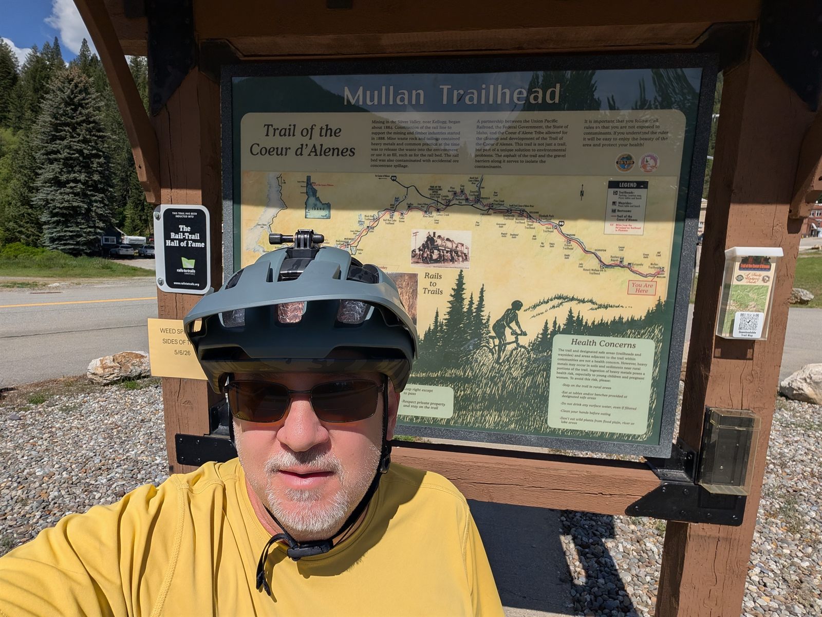
I joined the Trail of the Coeur d'Alenes one more time as it ran briefly under I-90 — with only about 8 miles left to finish the trail. The grade was a touch steeper on this final section, but still incredibly easy riding. It was pretty in places, though not as striking as the miles alongside the lake and the river earlier in the trip. Within half an hour or so I rolled up to the Mullan trailhead and snapped a photo to mark the end of the 72-mile trail.
A family with a few kids and some other riders were organizing themselves for a section ride as I finished, and it was awesome to hear how excited one little girl was about the day. She spotted my loaded packs and asked why I had so much "stuff." I told her I was riding from town to town, carrying everything I needed on my bike. She thought that was pretty cool — and honestly, so did I, thinking about all the great riding still ahead.
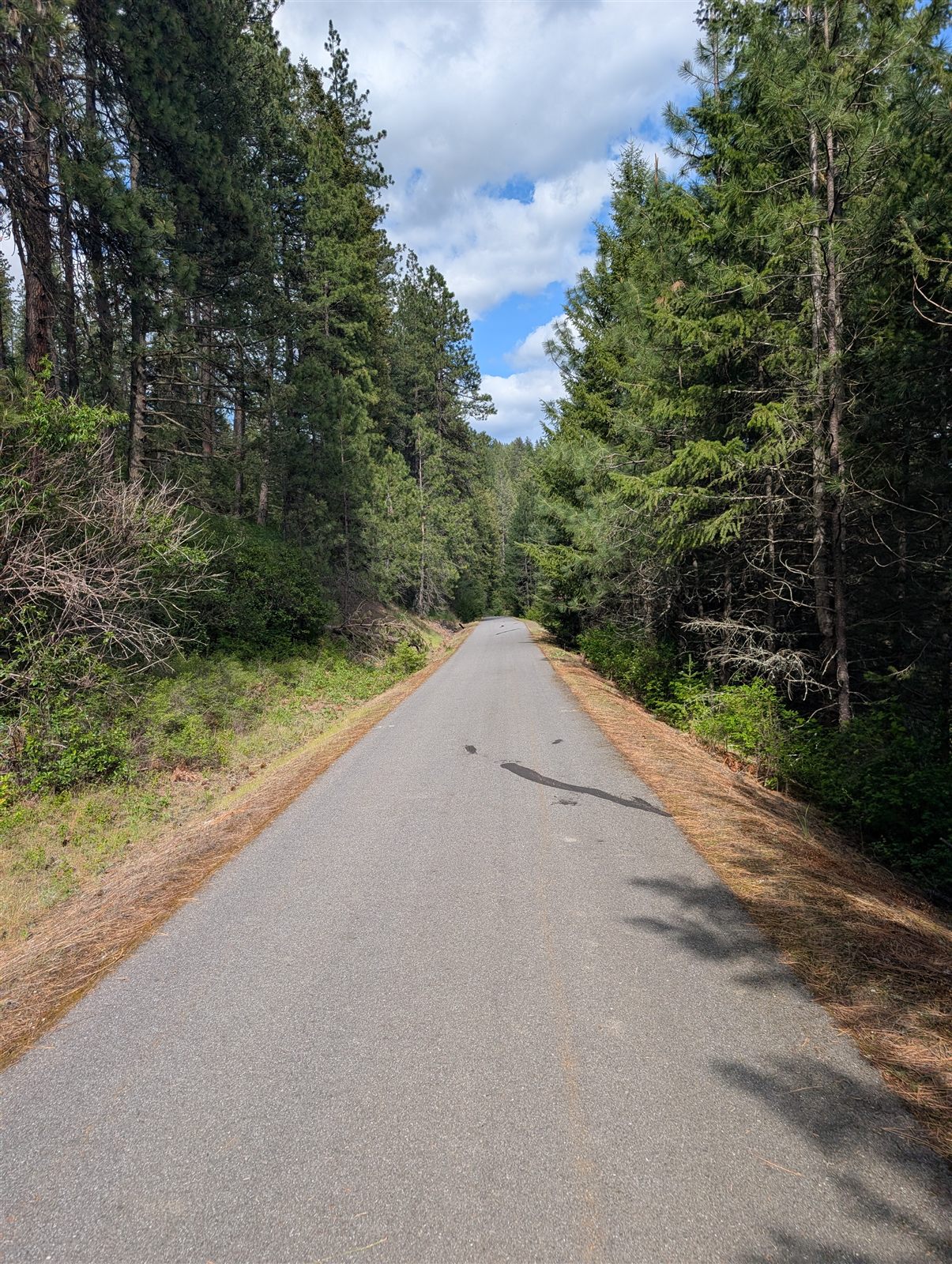
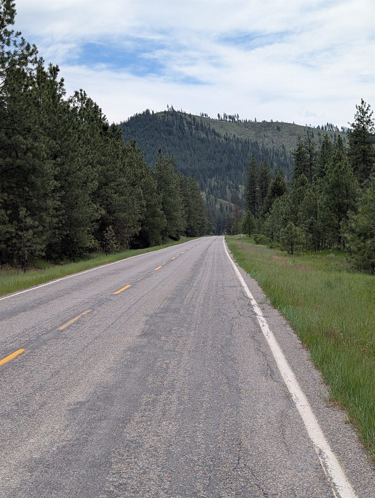
With the Coeur d'Alenes behind me, I rode a short stretch of road to navigate over to the NorPac Trail — the old Northern Pacific grade. There were two ways to make the connection: a longer route that stayed on gentle rail grade, or a steeper shortcut that someone online had recommended as the better way to go. Since this wasn't an especially long or tough day, riding fewer miles wasn't really a concern — so I took the shortcut. It was only about two and a half miles shorter, but it made you work for it: the grade ran a stout 8–12%, part pavement and part rough gravel near the top, gaining around 700 feet before dropping me onto the NorPac Trail.
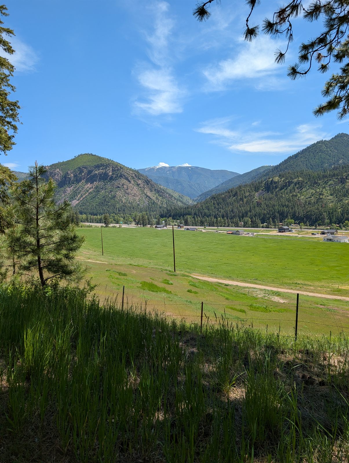
Once I connected to the NorPac Trail, the grade settled back into the easy, steady rail climb all the way up to Lookout Pass — around 2,300 feet of climbing across the day to reach the top. Lookout Pass is home to a ski area that's been running since the 1930s; in summer it doubles as one of the rental and shuttle hubs for the Route of the Hiawatha. I grabbed some ice and water there before crossing the Montana border. Just past the line I missed the turnoff back onto the rail trail and ended up on an old road for a bit, but I caught the mistake quickly and got back on route.
A little farther on, I reached the detour I'd been wondering about all morning: the bypass around the collapsing Borax Tunnel. A few online comments had warned of a steep hike-a-bike up a makeshift path to get around it, so I wasn't sure what to expect — but there turned out to be a proper graded track instead. One short pitch was a bit steep, yet easily rideable, and just like that the day's big unknown was behind me.
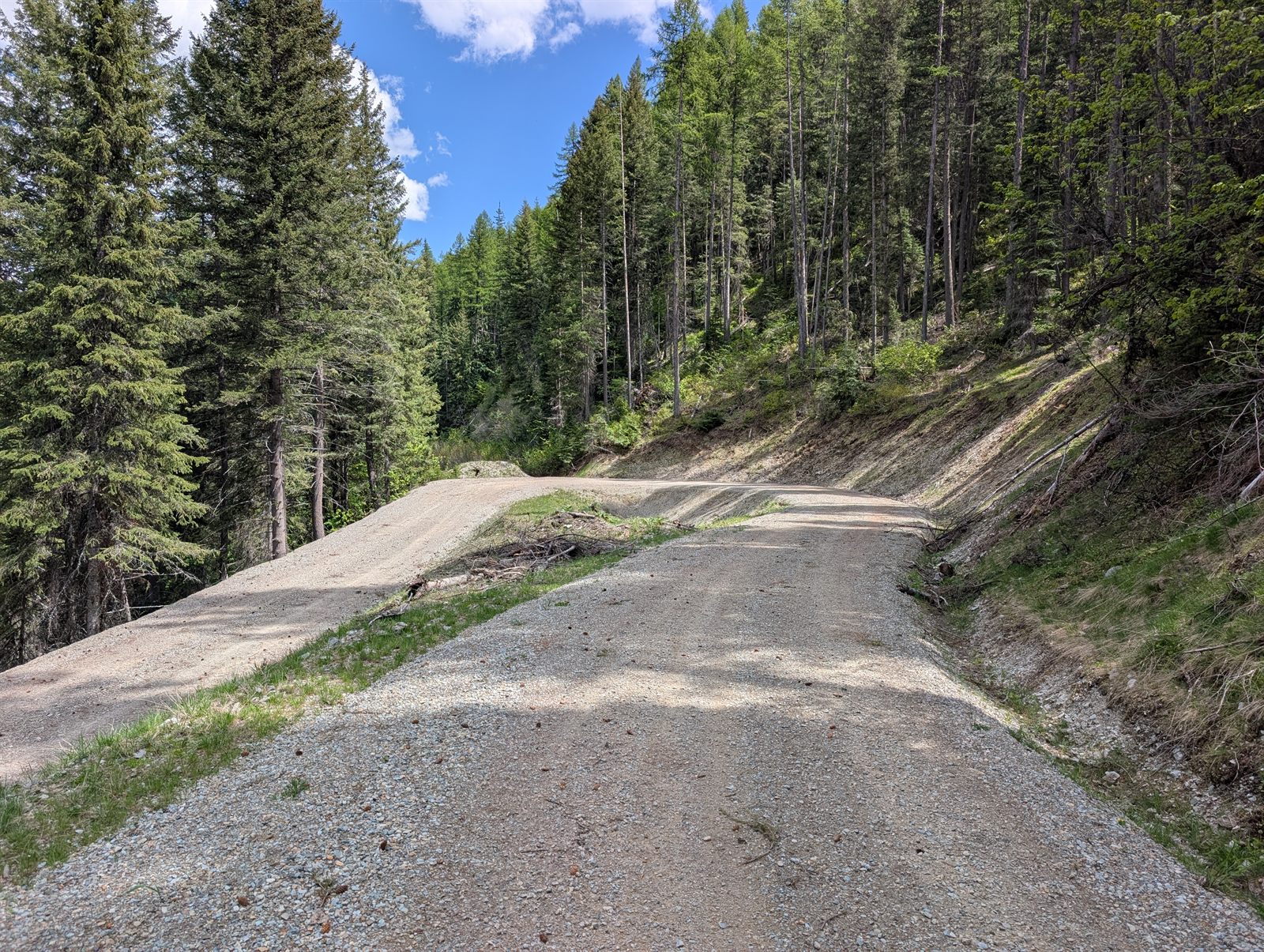
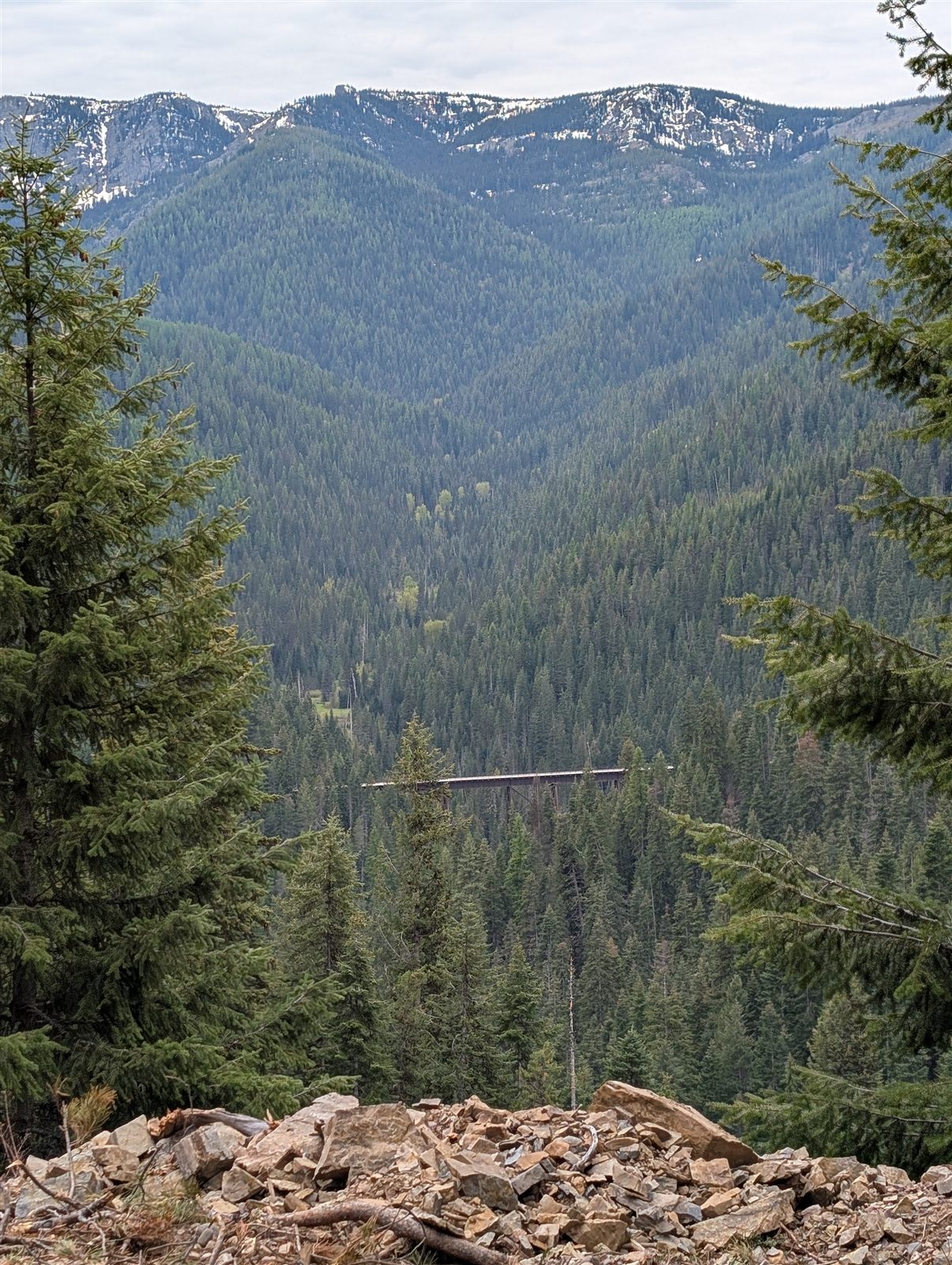
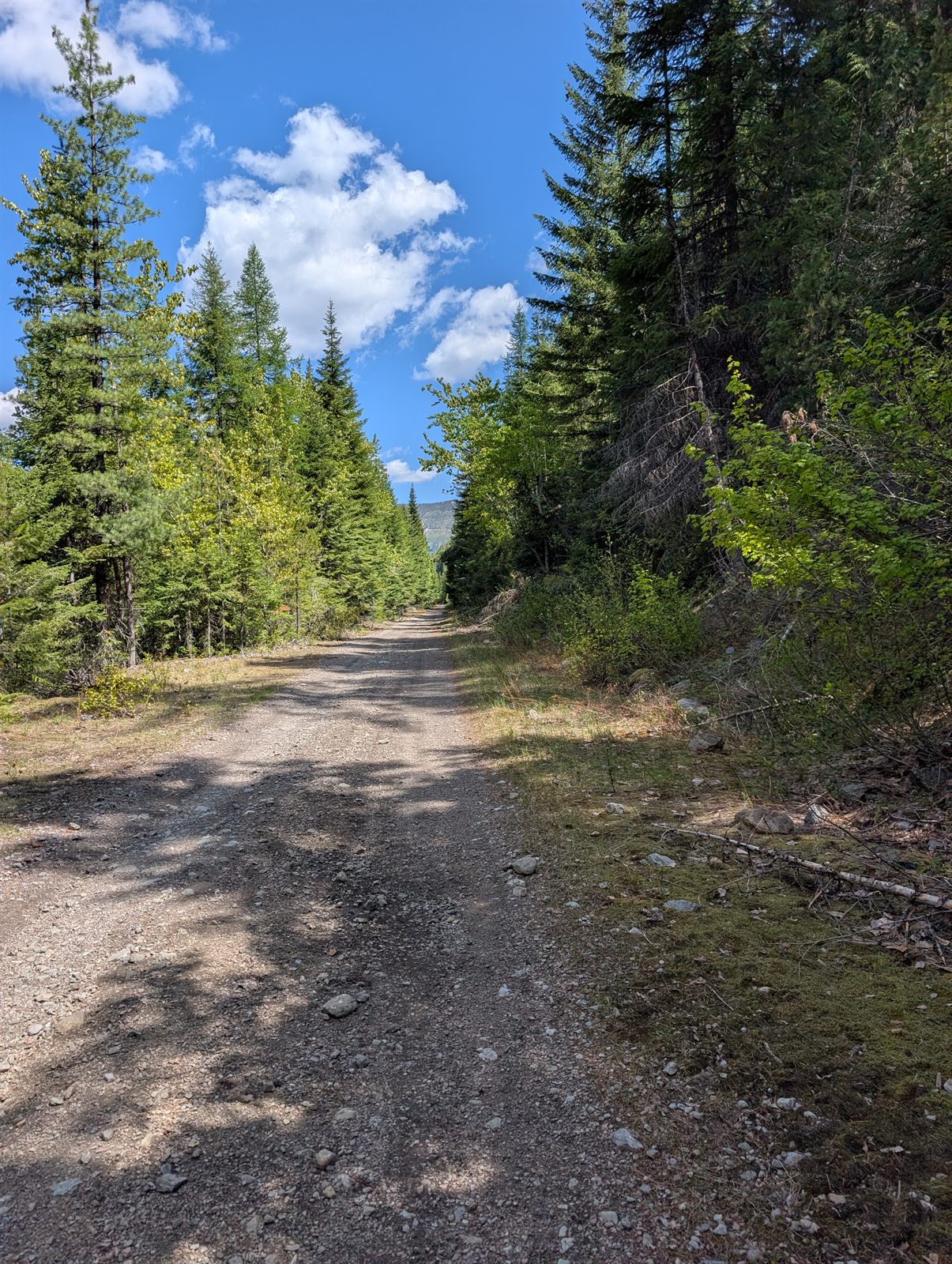
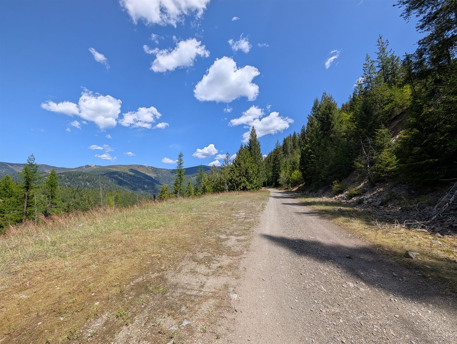
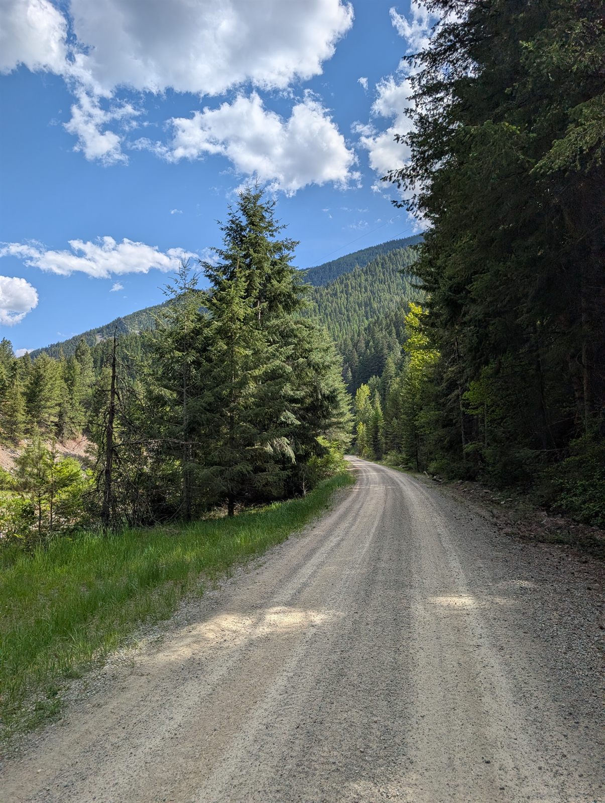
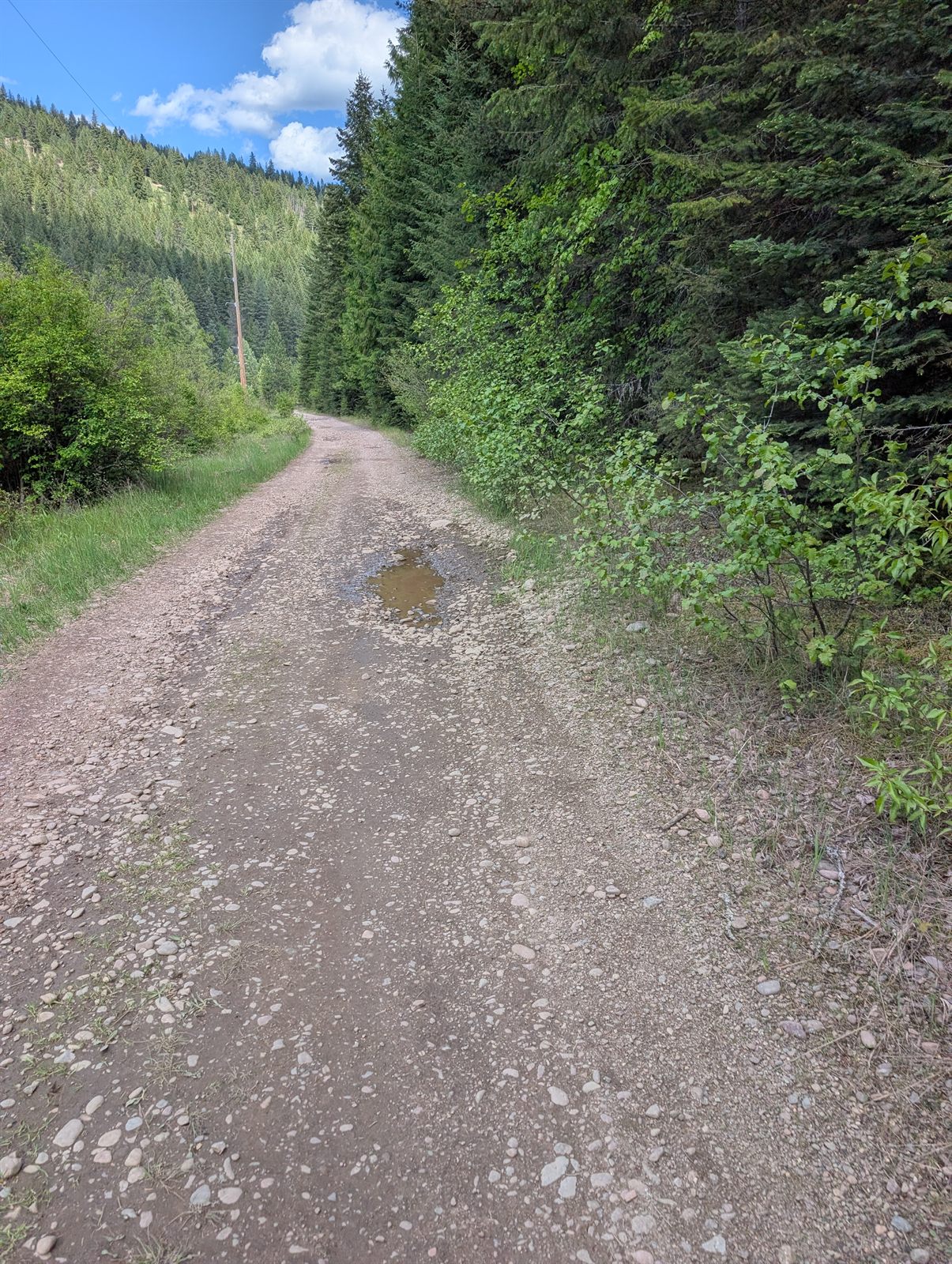
The rest of the day was a mix of gravel — some of it beautifully smooth, a few stretches rockier — but all of it very rideable and incredibly scenic. The rail trail mostly stayed up in the woods, high above the valley and I-90, which I'd catch in occasional glimpses far below or running right alongside me.

I heard my second moose of the trip before I saw it. I was cruising a fast, smooth section at about 17 mph when I startled it — branches cracking and a commotion in the brush — and I looked over just in time to see the moose crashing off into the woods.
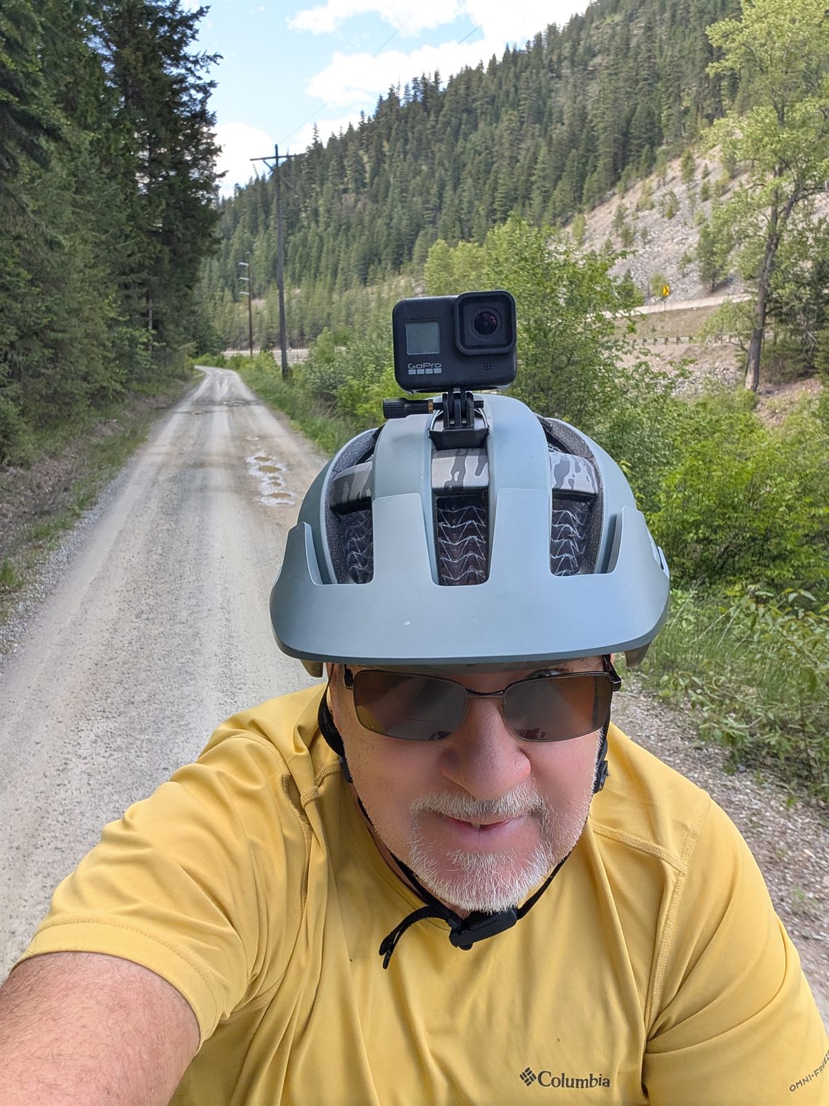
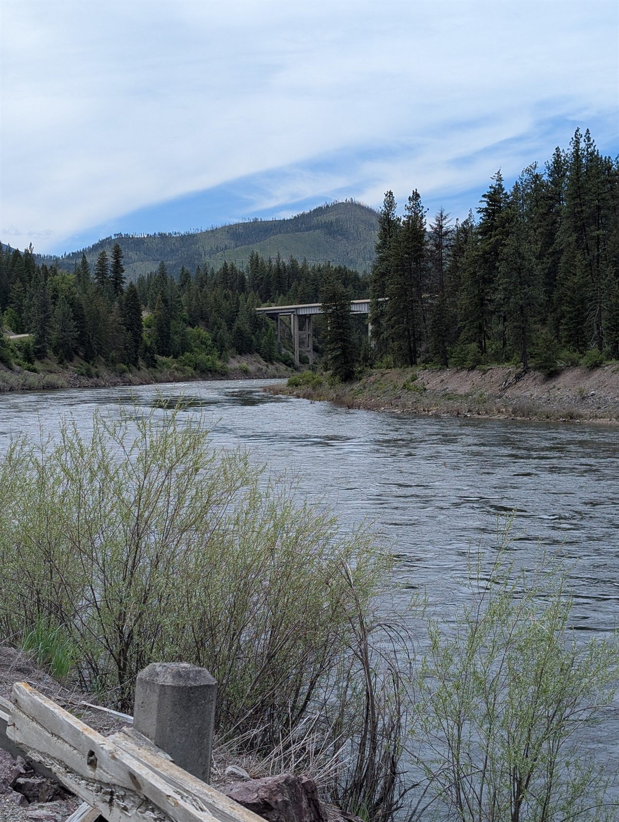
For these miles I thought I had a GoPro running on my helmet. I took and narrated several clips as I rode — but as it turned out, none of them recorded. That evening I confirmed it wouldn't record at all anymore, and after a bit of research I realized it was toast, so into the garbage it went. Lost with it were the thoughts I'd been narrating along the way: how stunning the day had become, rolling with the river below and the valley opening wide, mountains standing on both sides. It was the most beautiful and memorable stretch of the whole trip, and now it will just have to stay a memory.
The last couple of miles into St. Regis dropped onto welcome, smoothly paved road — a pretty run beside the river. I was glad to be off the rail trail by then. I'd shared it all day with off-road vehicles, and while most were courteous, a few were not. Of the 30 or 40 OHV riders I passed, nearly everyone slowed and gave me room (and I gave them plenty in return). But one final group of seven or eight blew by at 30–40 mph, kicking up a wall of dust and shattering the solitude of that tree-lined trail along the river.
St. Regis turned out to be a small town that was really hopping. As luck would have it, I'd rolled in on the weekend of the St. Regis Flea Market — billed as Montana's largest, a Memorial Day weekend tradition that draws hundreds of vendors and a big crowd to this little town. After a long, dusty day, I was more than happy to grab a shower and wash the trail off before heading out for a beer and some food at the bar of an, let's say, interesting local restaurant.
74.4 miles · ~3,200 ft climbing · St. Regis → Missoula · the biggest day
Day 6 route and elevation via Ride with GPS.
This was the biggest riding day of the trip as I made my way toward Missoula — and I knew going in that some miles on Interstate 90 were going to be unavoidable. The recommended route put me on I-90 almost immediately, but instead I chose a gravel road. It opened with a few hundred feet of climbing — a bit of a grind to start — but it felt far more my speed than the shoulder of Route 90.
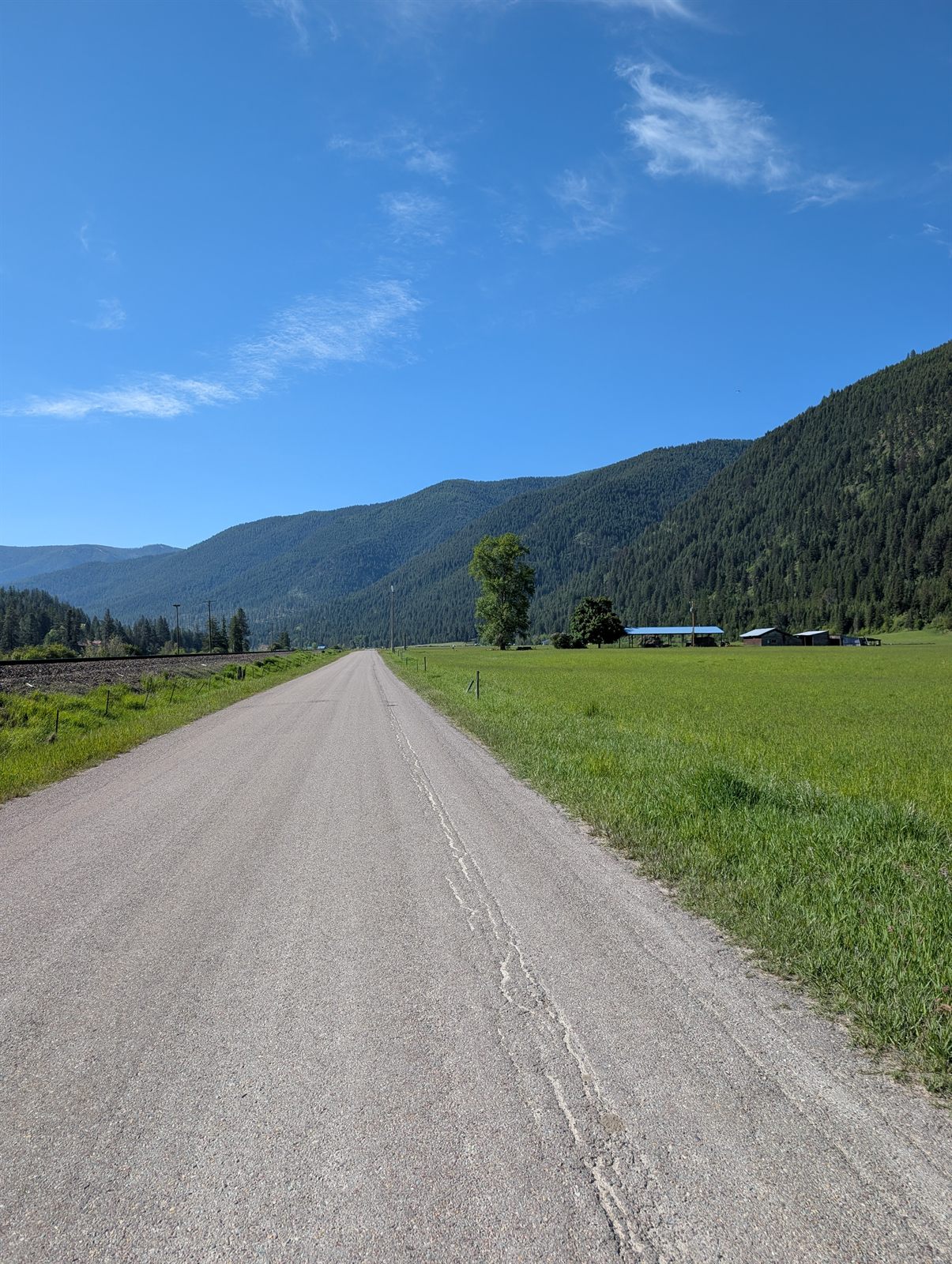
The climb paid off: a fast downhill and some smooth pavement through a beautiful, quiet valley.

The riding stayed beautiful even with I-90 never far off. My hotel breakfast had been forgettable, so I stopped for a late breakfast / early lunch in Superior. It may have been one of the dirtiest restaurants I've ever set foot in — but it was the only game in town, and it turned out to be a good stop all the same.
After Superior came a lovely stretch of about 15 miles where the route eased away from the highway, the river tucked in between me and I-90 — quiet and easily one of the prettiest parts of the morning.

Then came my first real stretch on I-90 itself. Sporting an orange shirt, a flashing tail-light on my helmet, and my Garmin radar light keeping watch behind me, I rolled slowly up the on-ramp. It was Sunday of Memorial Day weekend, so traffic wasn't bad and trucks were few and far between. My 15–20 mph felt almost comical against the 80 mph limit — but there was a wide, smooth shoulder the whole way. And yes, in case you're wondering: it's perfectly legal to ride a bike on the stretches of I-90 I used. Honestly, it wasn't a bad experience at all, and the interstate has one quiet virtue — its hills are far gentler than the back roads. About three miles later I dropped off onto old Highway 10.
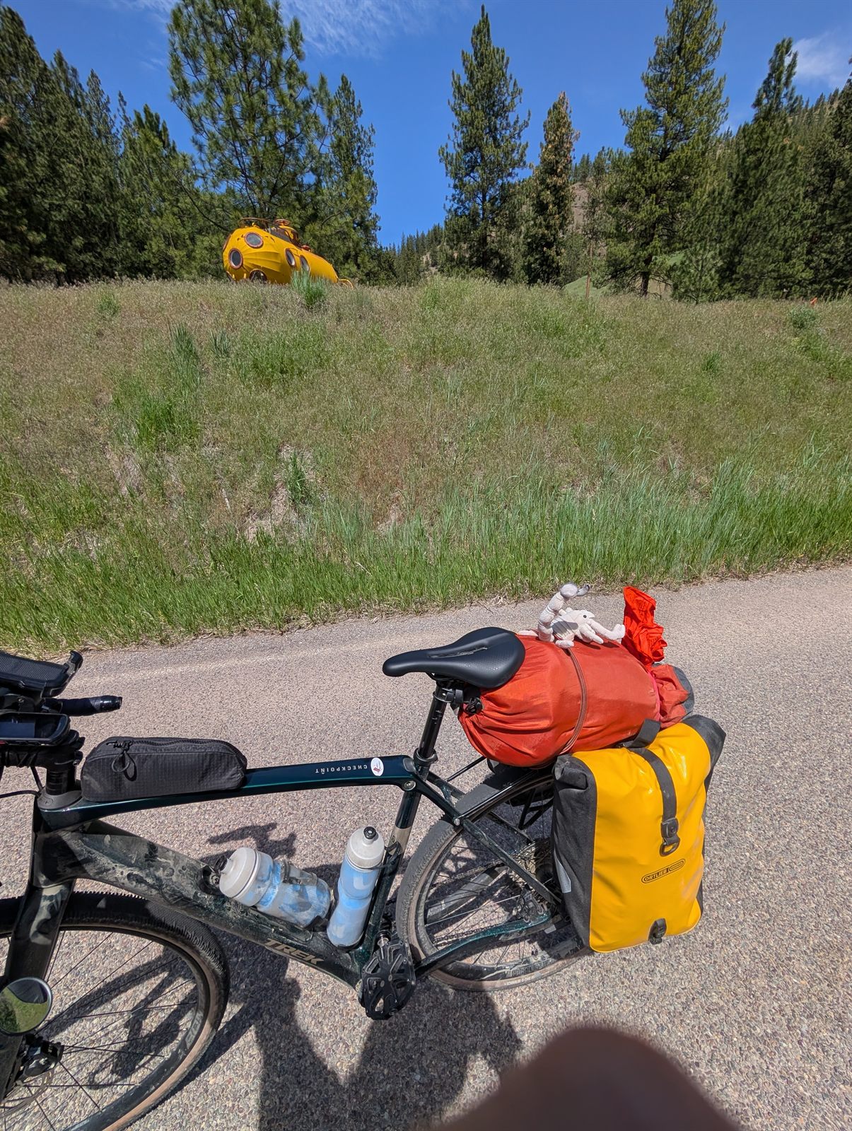
If I had to name this section, I'd call it the Yellow Submarine Pet Goose Scenic Byway. Let me explain.
Within a mile of leaving the interstate, off to the left on a hillside, sat a yellow submarine. When I started this trip, a submarine of any color was nowhere on my bingo card — but there it was, and of course the Beatles song started up in my head.
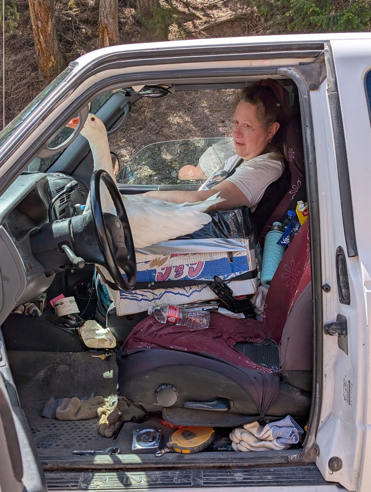
Then, as I approached an old bridge closed to car traffic, I passed a pickup parked with its driver's door open. I glanced in and saw a woman — and a goose — sitting in the cab. The day had gotten a lot more interesting in the span of a mile.
I stopped to chat with the owners, a husband and wife. I asked about the closed bridge, and he told me it'll become part of the Great American Rail-Trail — and that I'd love the old highway ahead. And I had to ask about the goose: their pet, about a year and a half old. When I went back to say hi and take its photo, it got excited and honked at me like an over-eager dog. He offered to let me pet it, but I kept a respectful distance — no interest in someday explaining how I'd been maimed by a pet goose.
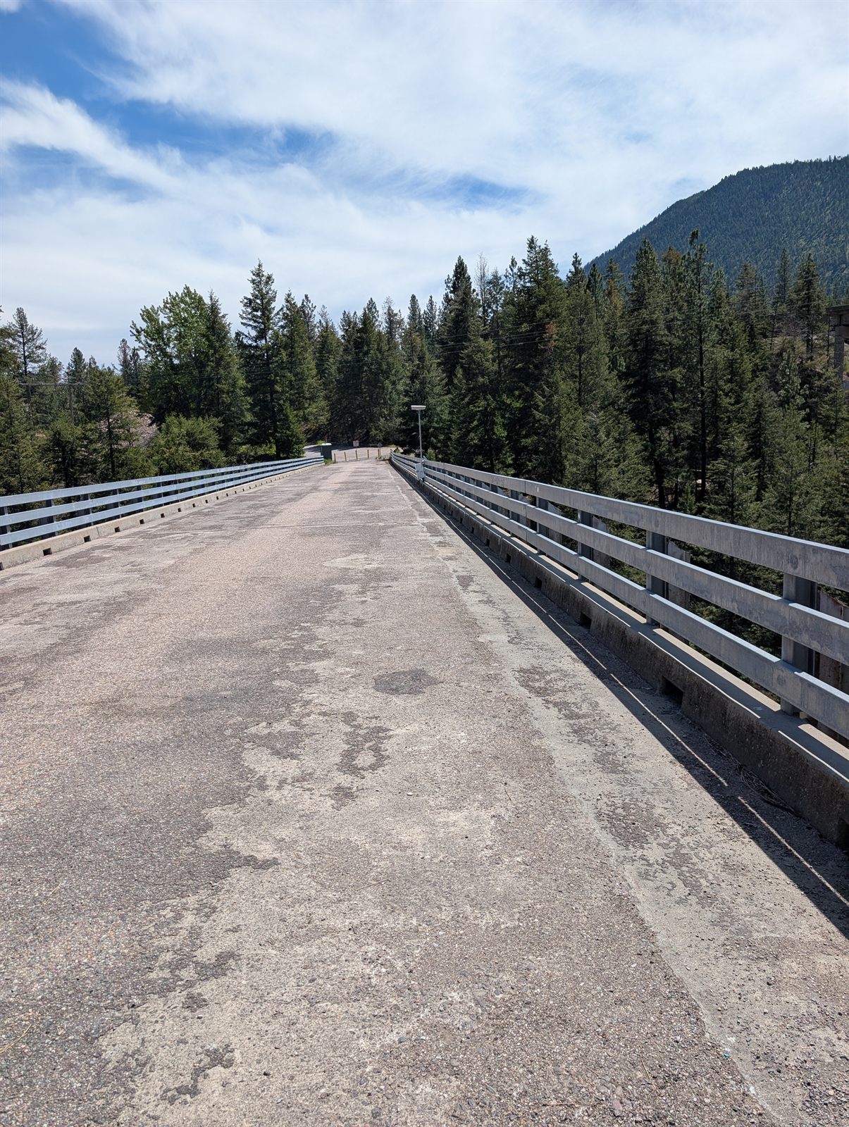
As promised, the section was gorgeous, and it was wonderful to see this stretch of old highway preserved for riders like me — with some recreation access down by the river at the far end.
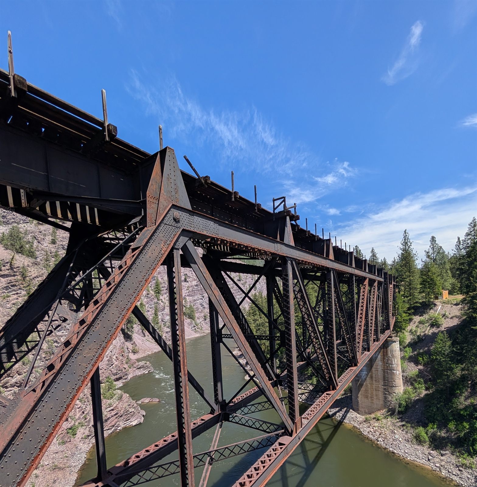
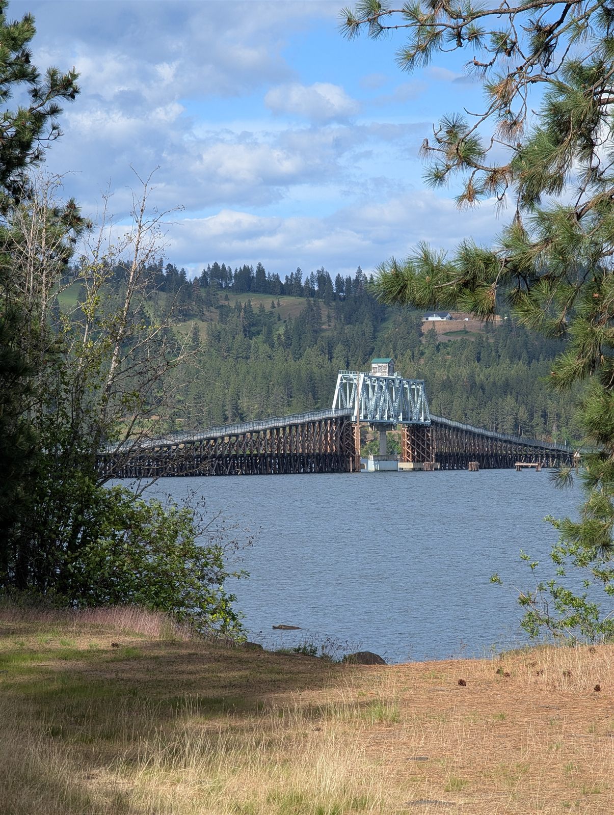
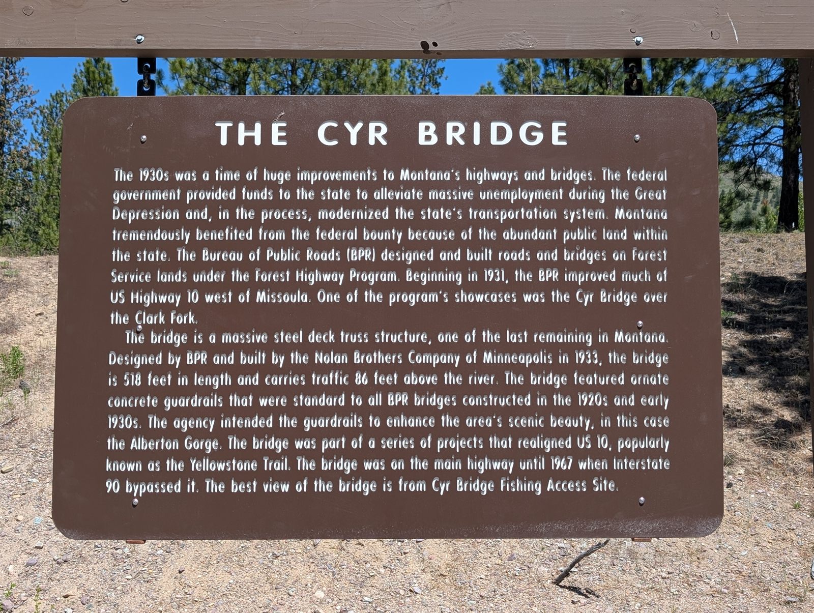
At the far end of the old highway stood the historic Cyr Bridge — the kind of spot that begs for an aerial view. I put the drone up and had it follow me as I rode across; that's the footage below.
From there it was about four more miles on I-90, exiting at Alberton for water and ice cream. I'd first heard about Alberton days earlier, back on the Hiawatha, when a couple raved about an amazing old bookstore in town. As I was leaving the shop, I ran right into its owner, Keren — who asked all about my tour and told me she'd done her own two-month bike tour across Europe about fifteen years ago. She shared advice for riding into Missoula, and I passed along how much that couple had gushed about her store. It clearly made her day; she said she loves hearing that her lifelong passion still means something to people. If you're ever in Alberton, stop in at the Montana Valley Bookstore.
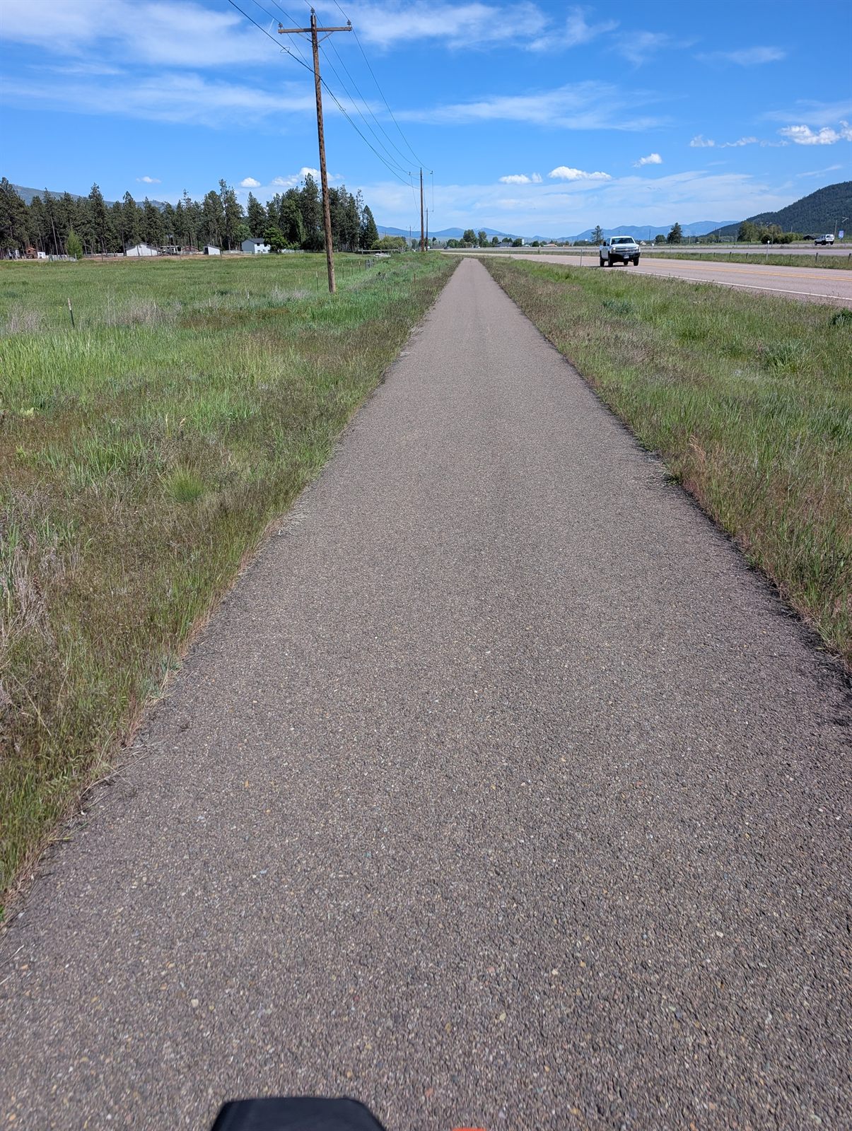
Keren's recommended route into Missoula put me on a quiet road with some climbing — doable, and genuinely enjoyable. There was one last stint on I-90, then about 12 miles of paved bike path, before a few busy roads delivered me into the city and to my hotel.
Those final business-district roads were a jarring contrast to the rest of the day's mix of gravel, quiet lanes, and short interstate hops. Honestly? I'd take I-90 over some of the roads in Missoula.
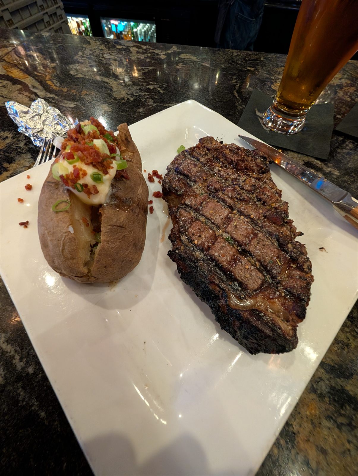
I capped the day by treating myself to a steak, a salad, a baked potato, and a beer — a great end to a great day, and the final day of riding with my packs. Tomorrow I'll explore Missoula packless.
~13 miles around town · then boxing up the bike for the flight home
Day 7 route and elevation via Ride with GPS.
With the packs off the bike for the first time in a week, I spent my last day on a short spin around Missoula — downtown and a few of the bike paths along the Clark Fork River. It was Memorial Day, so most things were closed and the city felt quiet.
Honestly, Missoula was a bit of a letdown. The outskirts were pretty, but downtown felt a little run down and the bike paths were just okay. Some of the main roads had bike lanes, but they were buried under gravel and cinders — leftover winter traction grit, I'd guess — which made them tricky to ride. Traffic to and from downtown was heavy in places, too; honestly, it was the most unsafe I felt on the bike the entire trip. With everything closed it all felt pretty dead, and there seemed to be a lot of folks down on their luck — though maybe they just stood out against the empty streets. I swung by the university, too, but with the holiday there wasn't much going on. I didn't dislike Missoula, exactly — I just don't think I need to spend extra time there. That said, if you lived here, the country around the city is fantastic: it would be an amazing home base for just about any kind of outdoor recreation.
The rest of the day went to logistics — getting the bike packed for the flight back to Phoenix. With it being Memorial Day, every bike shop in town was closed, so I stopped in at REI to ask whether they could box the bike or had a used box lying around. Packing it themselves was 10 days out (no good), but they did have a free used bike box for me.
Which left one problem: getting a giant cardboard box a mile back to my hotel. Luckily, someone checking in at the hotel had a pickup truck, and when I asked, he kindly offered to run me over to grab it. We had a great chat on the way — he works for FedEx, and small world: until recently he'd lived about 90 minutes from me, down in Prescott, before moving to Denver. He just happened to be passing through Missoula for work. A quick trip to Lowe's for packing tape and bubble wrap, and I got to work taking the bike apart.
The next morning's flight out was uneventful, and the Missoula airport — small but genuinely nice — made for a fitting, low-key end to the trip. Seven days, three states, and 282 miles after rolling out of Spokane — a great shakedown for whatever comes next.
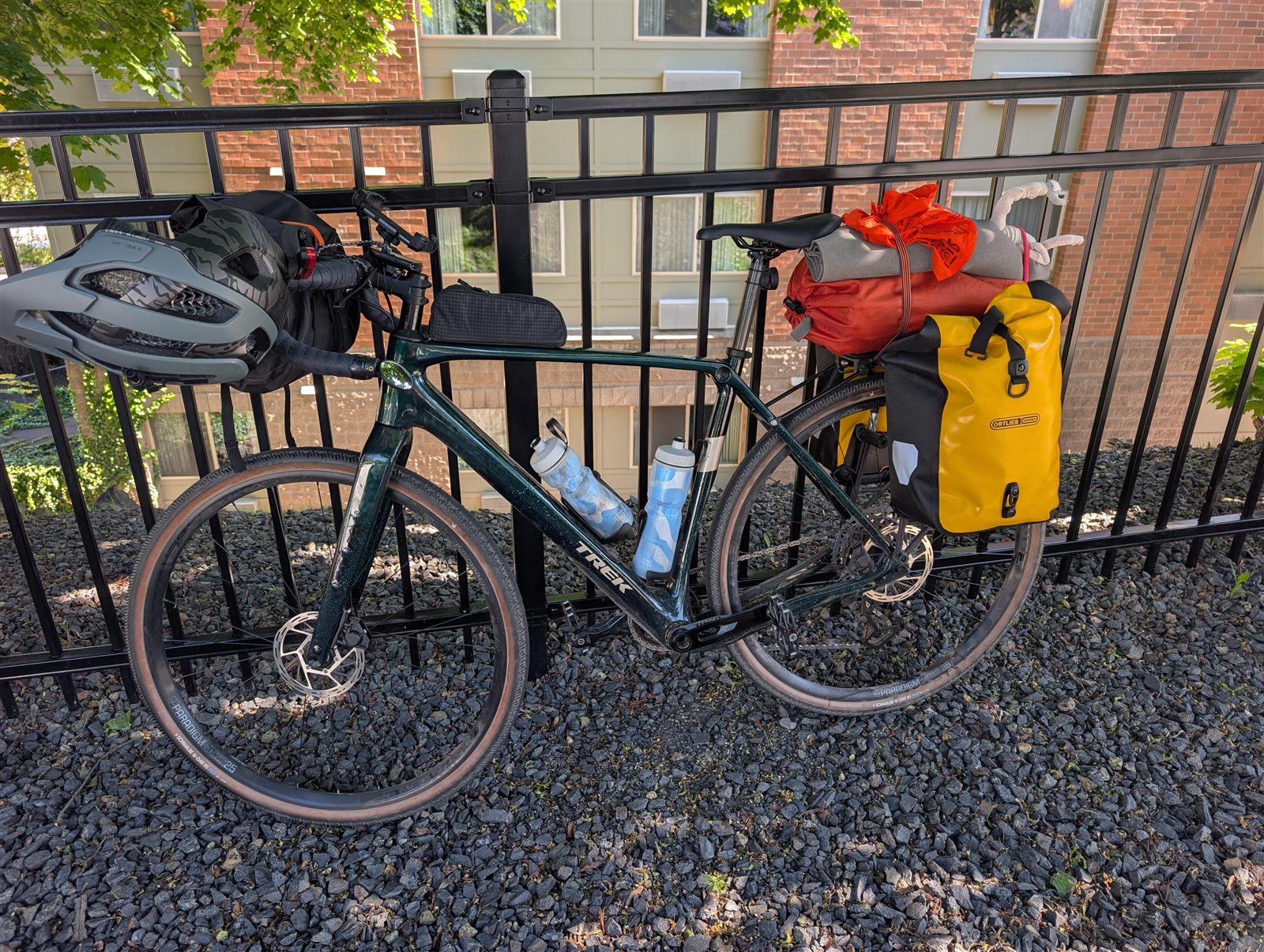
The kit I rode and carried on this trip — useful if you're putting together a setup for a tour like this.
Thinking about riding this route yourself? Here's what I'd pass along after doing it.
The big one is still ahead: a bike tour across the country, and I'm aiming for next year. If riding across America sounds like your kind of adventure, I'd love the company. Anyone up for it? Join me.
Get in touch →